
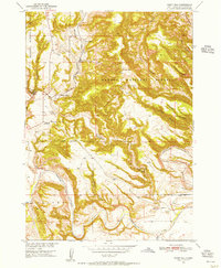
1950 Map of Flint Hill
USGS Topo · Published 1952About this map
Harney National Forest envelopes the dramatic topography of Fall River County, where the Cheyenne River cuts a wide, meandering path through the southern reaches of this landscape. The high-altitude plains and deep drainage systems like Hell Canyon and Chilson Canyon define the area’s rugged character. Human activity is focused along the Chicago Burlington and Quincy rail line, which traces the narrow valley floor past Chilson Station.
Find a feature on this map
26 named features on this map. Tap any name to fly to it.
Don’t see what you’re looking for? This feature index may not catch every label — zoom into the map to look around manually.
Map Details
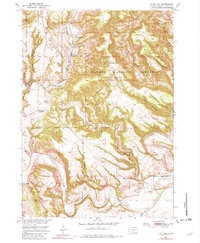
Editions of this 1950 Flint Hill Map
3 editions found
Other maps of this area

1902 · Edgemont
USGS Topo · 1:125,000

1950 · Edgemont
USGS Topo · 1:24,000

1950 · Heppner
USGS Topo · 1:24,000

1950 · Cascade Springs
USGS Topo · 1:24,000

1950 · Rumford
USGS Topo · 1:24,000

1950 · Edgemont NE
USGS Topo · 1:24,000

1950 · Minnekahta
USGS Topo · 1:24,000

1951 · Minnekahta NE
USGS Topo · 1:24,000

1955 · Hot Springs
USGS Topo · 1:250,000
1982 · Provo
USGS Topo · 1:25,000