
1950 Map of Minnekahta
USGS Topo · Published 1952About this map
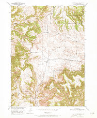
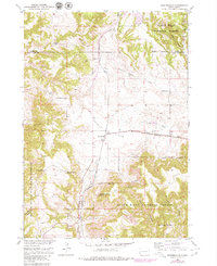
Fossil Cycad National Monument stands as a central landmark in this mid-century survey of the Black Hills region. The landscape is defined by the steep-walled Hell Canyon and Falls Canyon, while the Chicago Burlington and Quincy railroad cuts through the terrain, serving the junction at Minnekahta. This era shows a settled ranching economy, with properties like the Johnson Ranch and Z R Ranch established across the open country of Bradley Flats. High points such as Parker Peak, which includes a lookout tower, provide vantage points over the Harney National Forest. Local education and community life are grounded in the presence of School No 3 and Marty Sch, indicating the spread of rural school districts across Fall River and Custer Counties before modern consolidation.
Find a feature on this map
23 named features on this map. Tap any name to fly to it.
Don’t see what you’re looking for? This feature index may not catch every label — zoom into the map to look around manually.
Map Details
Editions of this 1950 Minnekahta Map
3 editions found
Other maps of this area

1896 · Harney Peak
USGS Topo · 1:125,000

1901 · Harney Peak
USGS Topo · 1:125,000

1902 · Edgemont
USGS Topo · 1:125,000

1950 · Edgemont
USGS Topo · 1:24,000

1950 · Cascade Springs
USGS Topo · 1:24,000

1950 · Edgemont NE
USGS Topo · 1:24,000

1950 · Flint Hill
USGS Topo · 1:24,000

1951 · Minnekahta NE
USGS Topo · 1:24,000

1954 · Jewel Cave SE
USGS Topo · 1:24,000
1955 · Argyle
USGS Topo · 1:24,000