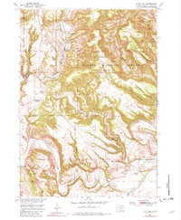
1950 Map of Flint Hill
USGS Topo · Published 1982About this map
The Chicago Burlington and Quincy railroad cuts a vital path through this mid-century landscape of Fall River County, connecting isolated outposts like Chilson Station. The terrain is defined by the deep incisions of Hell Canyon, Chilson Canyon, and Buck Canyon as they move toward the broad valley of the Cheyenne River. Within the Harney National Forest, the map documents a transition from active ranching to early resource exploration, evidenced by the presence of an Oil Well and several named cattle operations including Marty Ranch, Gull Ranch, and the remote Line Camp. Cultural markers such as the Gull Sch (Abandoned) suggest a shifting population in this corner of the Black Hills as small rural schools began to close. This 1950 survey, updated by photo-inspection in the late 1970s, captures the area before modern infrastructure altered the primitive road network and forest boundaries.
Find a feature on this map
24 named features on this map. Tap any name to fly to it.
Don’t see what you’re looking for? This feature index may not catch every label — zoom into the map to look around manually.
Map Details
Editions of this 1950 Flint Hill Map
3 editions found
Other maps of this area

1902 · Edgemont
USGS Topo · 1:125,000

1950 · Edgemont
USGS Topo · 1:24,000

1950 · Heppner
USGS Topo · 1:24,000

1950 · Cascade Springs
USGS Topo · 1:24,000

1950 · Rumford
USGS Topo · 1:24,000

1950 · Edgemont NE
USGS Topo · 1:24,000

1950 · Minnekahta
USGS Topo · 1:24,000

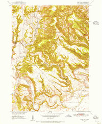
1950 · Flint Hill
USGS Topo · 1:24,000

1951 · Minnekahta NE
USGS Topo · 1:24,000

1955 · Hot Springs
USGS Topo · 1:250,000