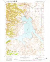
1950 Map of Angostura Reservoir
USGS Topo · Published 1979About this map
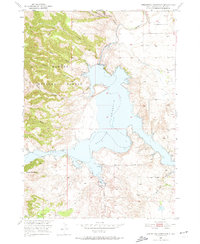
The Angostura Reservoir dominates this Fall River County landscape, its 3,187-foot normal elevation filling a system of deep draws and canyons. This topographic study reflects the early years of the reservoir after the construction of the Angostura Dam Spillway 3198, a project developed by the US Bureau of Reclamation for the Missouri River Basin. To the west, the steep, dissected terrain of the Harney National Forest is carved by Red Canyon, Wall Canyon, and Sheps Canyon. Local rural infrastructure of the mid-20th century is preserved through labels for the Lithia Sch and Coleman Sch, alongside the Hot Springs Municipal Airport in the northeast. The southern reaches are defined by the winding course of Tepee Creek near the prominent Tepee Mountain, showing the complex drainage network that feeds into the Cheyenne River system.
Find a feature on this map
23 named features on this map. Tap any name to fly to it.
Don’t see what you’re looking for? This feature index may not catch every label — zoom into the map to look around manually.
Map Details
Editions of this 1950 Angostura Reservoir Map
3 editions found
Other maps of this area

1896 · Oelrichs
USGS Topo · 1:125,000

1900 · Oelrichs
USGS Topo · 1:125,000

1902 · Edgemont
USGS Topo · 1:125,000

1950 · Hot Springs
USGS Topo · 1:24,000

1950 · Buffalo Gap
USGS Topo · 1:24,000

1950 · Heppner
USGS Topo · 1:24,000

1950 · Cascade Springs
USGS Topo · 1:24,000

1950 · Hot Springs SE
USGS Topo · 1:24,000

1950 · Angostura Reservoir
USGS Topo · 1:24,000

1951 · Minnekahta NE
USGS Topo · 1:24,000