Loading...
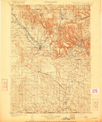
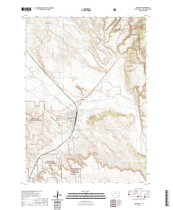
Loading map...1902 Map of Edgemont
USGS Topo · Published 1921About this map
Edgemont serves as the central hub of this southwestern South Dakota landscape, positioned where the Burlington and Missouri River R. R. crosses the Cheyenne River. Surveyed at the turn of the century, the map reveals a corridor of activity along the rail lines, connecting small settlements like Marietta, Provo, and Rumford. The northern portion of the map transitions into the steep canyons and timbered slopes of the Harney National Forest, featuring landmarks like Matias Peak and Parker Peak.
Find a feature on this map
49 named features on this map. Tap any name to fly to it.
Don’t see what you’re looking for? This feature index may not catch every label — zoom into the map to look around manually.
Map Details
Date Portrayed1902
Date Published1921
PublisherU.S. Geological Survey
Map TypeTopographic
Scale1:125,000
Physical Dimensions16.4 x 19.7 inches
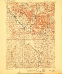
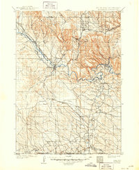
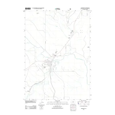
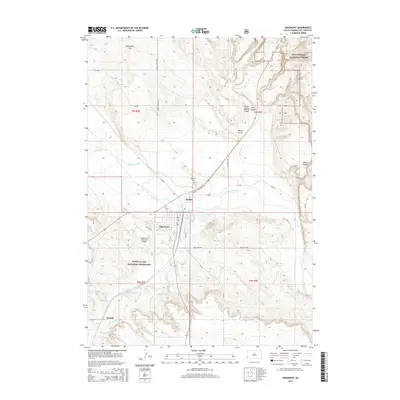
Editions of this 1902 Edgemont Map
4 editions found

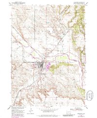
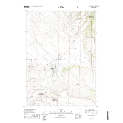
Historical Maps of Hot Springs Through Time
6 maps found
Featured Locations
Source Details
SourceU.S. Geological Survey
CopyrightPublic Domain