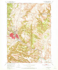
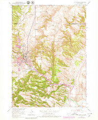
1950 Map of Hot Springs
USGS Topo · Published 1973About this map
The town of Hot Springs serves as a critical medical and civic hub for the southern Black Hills during the mid-century, defined by the expansive grounds of the Battle Mountain National Sanitarium and the State Soldiers Home. The landscape is heavily influenced by its thermal hydrology, with the Fall River winding south through narrow canyons toward the Cheyenne River. Cultural landmarks like the National Cem and Evergreen Cem are situated alongside local education centers like the High Sch and Grade Sch.
Find a feature on this map
40 named features on this map. Tap any name to fly to it.
Don’t see what you’re looking for? This feature index may not catch every label — zoom into the map to look around manually.
Map Details
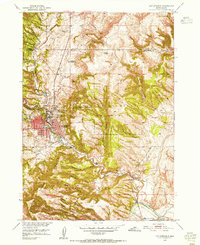
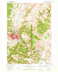
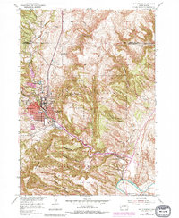
Editions of this 1950 Hot Springs Map
6 editions found
Other maps of this area

1894 · Hermosa
USGS Topo · 1:125,000

1896 · Oelrichs
USGS Topo · 1:125,000

1896 · Harney Peak
USGS Topo · 1:125,000

1900 · Oelrichs
USGS Topo · 1:125,000

1901 · Hermosa
USGS Topo · 1:125,000

1901 · Harney Peak
USGS Topo · 1:125,000

1902 · Edgemont
USGS Topo · 1:125,000

1950 · Hot Springs
USGS Topo · 1:24,000

1950 · Buffalo Gap
USGS Topo · 1:24,000

1950 · Cascade Springs
USGS Topo · 1:24,000