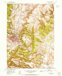
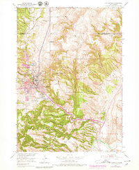
1950 Map of Hot Springs
USGS Topo · Published 1955About this map
Hot Springs serves as the gateway to the southern Black Hills, defined by its complex topography and institutional history at the start of the 1950s. The town's unique character is shaped by its role as a regional center for care and recuperation, centered around the State Soldiers Home and the Battle Mountain National Sanitarium. The surrounding landscape is a maze of deep drainages including Cold Brook Canyon, Hot Brook Canyon, and Dudley Canyon, all feeding toward the southern bend of the Fall River. Outside the municipal center, the map reveals a rural transition where the Aaberg Sch stands as a remnant of earlier settlement patterns. The terrain climbs sharply toward the Battle Mountain Reserve, where the Battle Mountain Lookout Tower overlooks the convergence of the Seven Sisters Range and the winding Cheyenne River to the south.
Find a feature on this map
36 named features on this map. Tap any name to fly to it.
Don’t see what you’re looking for? This feature index may not catch every label — zoom into the map to look around manually.
Map Details
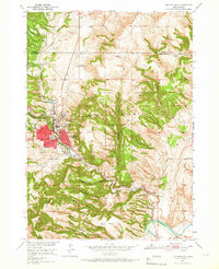
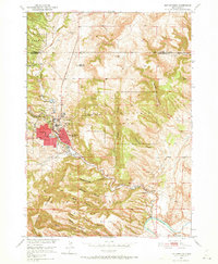
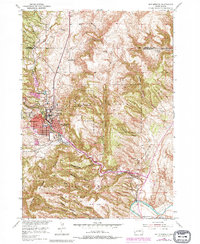
Editions of this 1950 Hot Springs Map
6 editions found
Other maps of this area

1894 · Hermosa
USGS Topo · 1:125,000

1896 · Oelrichs
USGS Topo · 1:125,000

1896 · Harney Peak
USGS Topo · 1:125,000

1900 · Oelrichs
USGS Topo · 1:125,000

1901 · Hermosa
USGS Topo · 1:125,000

1901 · Harney Peak
USGS Topo · 1:125,000

1902 · Edgemont
USGS Topo · 1:125,000

1950 · Hot Springs
USGS Topo · 1:24,000

1950 · Buffalo Gap
USGS Topo · 1:24,000

1950 · Cascade Springs
USGS Topo · 1:24,000