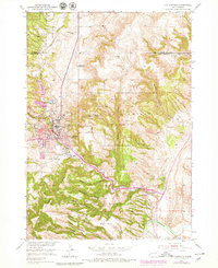
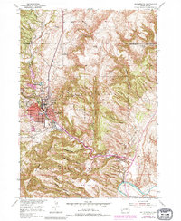
1950 Map of Hot Springs
USGS Topo · Published 1979About this map
Hot Springs serves as the hub of this 1950 survey, characterized by its significant medical and veteran institutions including the Battle Mountain National Sanitarium and the State Soldiers Home. The town is positioned at the confluence of several prominent canyons such as Hot Brook Canyon and Cold Brook Canyon, illustrating how the local topography dictated early settlement patterns. Beyond the urban center, the landscape transitions into the Black Hills National Forest and the Battle Mountain Reserve. Educational and civic life is marked by the High School, Grade School, and a University site, while the outskirts reveal rural history through the Aaberg Sch (Abandoned) and Falls Sch. Notable industrial and transport features like the Power Plant and the Hot Springs Municipal Airport show the post-war modernization of this Fall River County seat.
Find a feature on this map
35 named features on this map. Tap any name to fly to it.
Don’t see what you’re looking for? This feature index may not catch every label — zoom into the map to look around manually.
Map Details
Editions of this 1950 Hot Springs Map
6 editions found
Other maps of this area

1894 · Hermosa
USGS Topo · 1:125,000

1896 · Oelrichs
USGS Topo · 1:125,000

1896 · Harney Peak
USGS Topo · 1:125,000

1900 · Oelrichs
USGS Topo · 1:125,000

1901 · Hermosa
USGS Topo · 1:125,000

1901 · Harney Peak
USGS Topo · 1:125,000

1902 · Edgemont
USGS Topo · 1:125,000

1950 · Hot Springs
USGS Topo · 1:24,000

1950 · Buffalo Gap
USGS Topo · 1:24,000

1950 · Cascade Springs
USGS Topo · 1:24,000