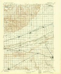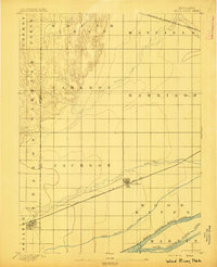
1895 Map of Wood River
USGS Topo · Published 1895About this map
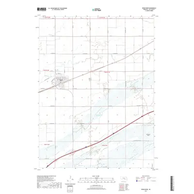
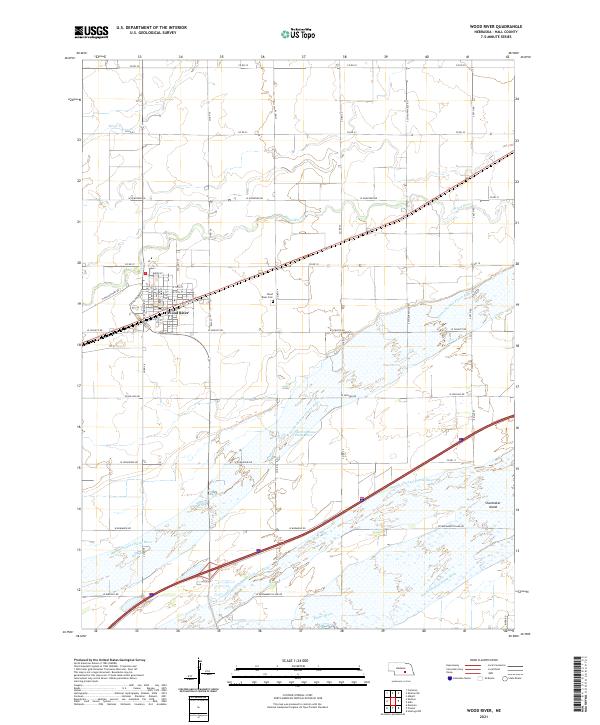
The braided channels of the North Channel Platte River, Middle Channel Platte River, and South Channel Platte River define the southern landscape of this 1890s survey. This portion of the central Nebraska plains shows a burgeoning transportation network, with the Union Pacific (Main Line) corridor facilitating the growth of Wood River and Shelton. To the north, the Burlington and Missouri River R.R. cuts through Mayfield township, while the winding Prairie Creek flows through the central townships of Cameron and Harrison. The map illustrates the early subdivision of land into named townships such as Jackson and Sharon, reflecting a time when the region's economy was firmly rooted in the intersection of rail infrastructure and the fertile Platte Valley bottomlands.
Find a feature on this map
21 named features on this map. Tap any name to fly to it.
Don’t see what you’re looking for? This feature index may not catch every label — zoom into the map to look around manually.
Map Details
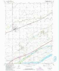
Editions of this 1895 Wood River Map
This is the sole edition of this map. No revisions or reprints were ever made.
Historical Maps of Wood River Through Time
7 maps found