
1896 Map of Wood River
USGS Topo · Published 1896About this map
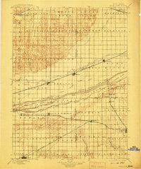
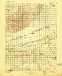
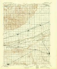
The Platte River dominates this Central Nebraska landscape, diverging into a complex network of channels and named islands including Fort Farm Island, Grand Island, and Clark Island. Established rail corridors dictate the region's growth, with the Union Pacific R. R. following the north bank through Shelton and Gibbon, while the Burlington and Missouri River R. R. and Missouri Pacific R. R. service the southern agricultural plains.
Find a feature on this map
76 named features on this map. Tap any name to fly to it.
Don’t see what you’re looking for? This feature index may not catch every label — zoom into the map to look around manually.
Map Details
Editions of this 1896 Wood River Map
4 editions found
Other maps of this area

1892 · Grand Island
USGS Topo · 1:62,500

1894 · Kenesaw
USGS Topo · 1:62,500

1894 · Kearney
USGS Topo · 1:62,500

1894 · Minden
USGS Topo · 1:62,500

1895 · Grand Island
USGS Topo · 1:62,500

1895 · Wood River
USGS Topo · 1:62,500

1896 · Holdrege
USGS Topo · 1:125,000

1896 · Kearney
USGS Topo · 1:125,000

1897 · Red Cloud
USGS Topo · 1:125,000

1898 · Superior
USGS Topo · 1:125,000