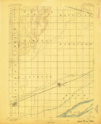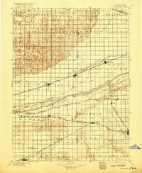
1896 Map of Wood River
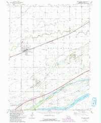
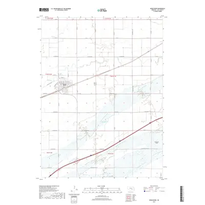
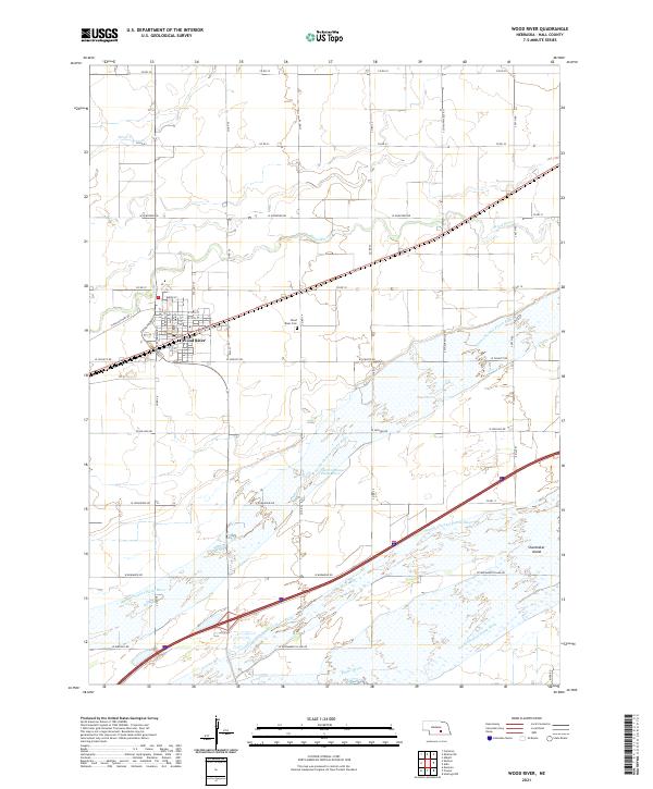
USGS Topo · Published 1917About this map
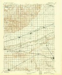
The North Channel Platte River, Middle Channel Platte River, and South Channel Platte River create an intricate braided water system across the central Nebraska plains. This 1890s landscape is defined by the heavy presence of the Union Pacific R. R. and the Burlington and Missouri River R. R., which dictate the placement of established rail towns like Wood River, Shelton, and Gibbon. Large riverine features such as Grand Island and Drover Island dominate the valley, while the southern portion of the sheet reveals a dense grid of townships and smaller settlements including Kenesaw and Juniata. The map preserves the specific locations of crossings such as the Shelton Bridge and the Wood River Bridge, illustrating the early transportation network essential for the region's agricultural development.
Find a feature on this map
72 named features on this map. Tap any name to fly to it.
Don’t see what you’re looking for? This feature index may not catch every label — zoom into the map to look around manually.
Map Details
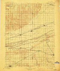
Editions of this 1896 Wood River Map
4 editions found

Historical Maps of Minden Through Time
7 maps found