
1896 Map of Holdrege
USGS Topo · Published 1896About this map
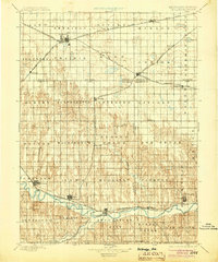
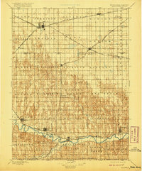
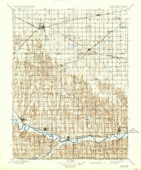
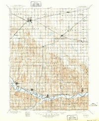
Holdrege serves as the primary rail hub on this 1890s survey, where the B. & Mo. Riv. R. R. (Cheyenne Line) and the Burlington and Missouri River Railroad converge. The landscape is defined by the transition from the high, flat plains in the north to the dissected valley of the Republican River in the south. Early agricultural settlements like Sacramento, Wilcox, and Axtell are established along the rail corridors, while the river valley supports a chain of towns including Orleans, Alma, Naponee, and Bloomington.
Find a feature on this map
63 named features on this map. Tap any name to fly to it.
Don’t see what you’re looking for? This feature index may not catch every label — zoom into the map to look around manually.
Map Details
Editions of this 1896 Holdrege Map
5 editions found
Other maps of this area

1893 · Smith Center
USGS Topo · 1:125,000

1893 · Norton
USGS Topo · 1:125,000

1893 · Phillipsburg
USGS Topo · 1:125,000

1894 · Kearney
USGS Topo · 1:62,500

1894 · Minden
USGS Topo · 1:62,500

1896 · Lexington
USGS Topo · 1:125,000

1896 · Kearney
USGS Topo · 1:125,000

1896 · Arapahoe
USGS Topo · 1:125,000

1896 · Wood River
USGS Topo · 1:125,000

1897 · Red Cloud
USGS Topo · 1:125,000