
1893 Map of Phillipsburg
USGS Topo · Published 1893About this map
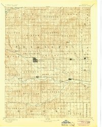
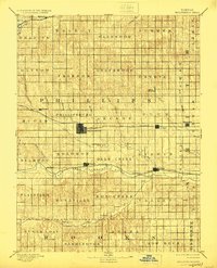
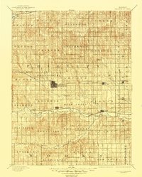
Phillipsburg serves as the central hub of this late nineteenth-century prairie landscape, situated at the intersection of local township divisions and major transportation corridors. The map reveals a highly structured environment defined by the expansion of three separate rail lines. The Chicago Rock Island and Pacific Railroad cuts a straight path east-to-west through the heart of the county, connecting settlements like Agra and Kensington. Further south, the Missouri Pacific Railroad follows the fertile valley of the North Fork Solomon River, passing through the riverside town of Kirwin.
Find a feature on this map
60 named features on this map. Tap any name to fly to it.
Don’t see what you’re looking for? This feature index may not catch every label — zoom into the map to look around manually.
Map Details
Editions of this 1893 Phillipsburg Map
4 editions found
Other maps of this area

1893 · Smith Center
USGS Topo · 1:125,000

1893 · Norton
USGS Topo · 1:125,000

1893 · Hill
USGS Topo · 1:125,000

1896 · Holdrege
USGS Topo · 1:125,000

1896 · Osborne
USGS Topo · 1:125,000

1896 · Arapahoe
USGS Topo · 1:125,000

1896 · Plainville
USGS Topo · 1:125,000

1897 · Red Cloud
USGS Topo · 1:125,000

1898 · Arapahoe
USGS Topo · 1:125,000

1952 · Webster Dam
USGS Topo · 1:24,000