Old Maps of Phillipsburg, Kansas
Explore 16 old maps of Phillipsburg, spanning from 1893 to today. These high-resolution historic maps reveal how streets, neighborhoods, landmarks, and natural features evolved over time — perfect for genealogy, metal detecting, research, and local history exploration.
What you can do with these maps:
- See how Phillipsburg changed over time: Compare historical maps to modern-day views to trace roads, homesites, rail lines & more.
- View detailed metadata: Each map includes creators, publishers, year, scale, and archive source.
- Overlay maps with satellite & LiDAR: Visualize the past alongside modern tools to explore terrain & human change.
- Trusted historical sources: Maps sourced from the USGS, Library of Congress, and other archives.
- Access maps your way: View online, download high-res files, or order prints for personal or research use.
Start exploring old maps of Phillipsburg to uncover forgotten places, hidden landmarks, and the deep history beneath your feet.
Phillipsburg, KS maps
(16)- 1893 Map of Phillipsburg
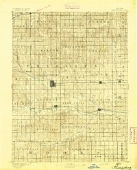 1893 Phillipsburg1893 Print · USGSPhillips County was a burgeoning rail and river corridor in the 1890s, with three major railroads carving paths through the prairie townships. Genealogists and researchers can trace the early layouts of Phillipsburg, Kirwin, and Agra as they appeared before the turn of the century.4 unique versions available
 - 1955 Map of Beloit, 1971 Print
 1955 Beloit1971 Print · USGSNorth Central Kansas in the mid-fifties shows a landscape of river-valley agriculture and expanding water infrastructure. Genealogists can trace the rail lines of the Union Pacific through towns like Nicodemus, Cawker City, and the State Sanatorium.3 unique versions available
 - 1959 Map of Beloit
 1959 Beloit1959 Print · USGSNorth Central Kansas at mid-century reveals a landscape shaped by river valleys and the expansion of massive water reservoirs. Genealogists and historians can trace the rail-town connections of Beloit and Norton or locate the site of the new Webster Dam.3 unique versions available
 - 1972 Map of Phillipsburg South, 1974 Print
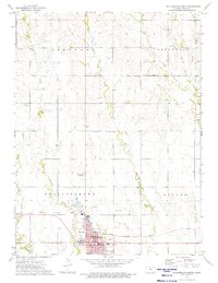
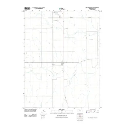
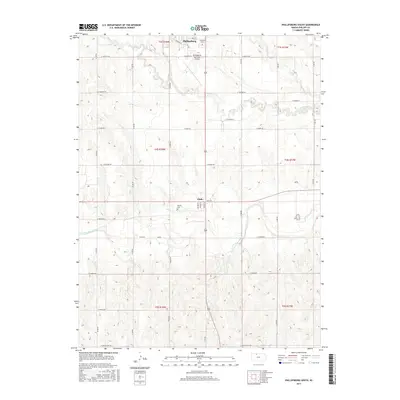
 1972 Phillipsburg South1974 Print · USGSPhillips County in the early seventies shows a landscape shaped by the Solomon River and the Missouri Pacific rail line. Researchers can trace the layout of Phillipsburg and Glade, or locate specific landmarks like Fairview Cemetery, the Drive-in Theater, and the Kirwin Reservoir.
 - 1973 Map of Phillipsburg North, 1975 Print
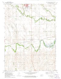
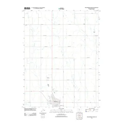
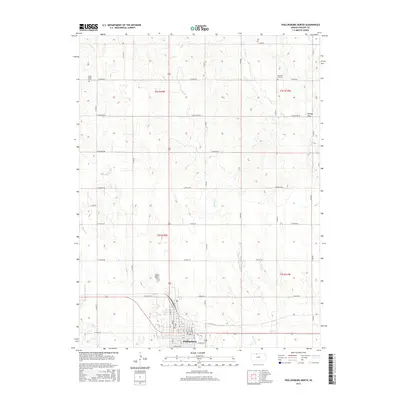
 1973 Phillipsburg North1975 Print · USGSPhillipsburg and the surrounding North-Central Kansas prairies are captured in the early seventies, showing a period of industrial activity and established civic life. Genealogists and local historians can locate the Iowa Union Cem, trace the Chicago Rock Island and Pacific rail line, and find the town Courthouse.
 - 1985 Map of Norton
 1985 Norton1985 Print · USGSNorth-central Kansas in the mid-1980s reveals a landscape of prairie commerce and water conservation across Norton and Phillips Counties. Researchers can trace the Burlington Northern Railroad and find local landmarks like Fairview Cemetery and the Kirwin National Wildlife Refuge.2 unique versions available
 - 2009 Map of Phillipsburg North, 2009 Print
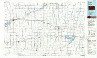
 2009 Phillipsburg North2009 Print · USGSCovers Phillipsburg, including Phillips County, United States, and other nearby areas
 - 2009 Map of Phillipsburg South, 2009 Print
 2009 Phillipsburg South2009 Print · USGSCovers Phillipsburg, including Glade, Phillips County, and other nearby areas
 - 2012 Map of Phillipsburg North, 2012 Print
 2012 Phillipsburg North2012 Print · USGSCovers Phillipsburg, including Phillips County, United States, and other nearby areas
 - 2012 Map of Phillipsburg South, 2012 Print
 2012 Phillipsburg South2012 Print · USGSCovers Phillipsburg, including Glade, Phillips County, and other nearby areas
 - 2015 Map of Phillipsburg South, 2015 Print
 2015 Phillipsburg South2015 Print · USGSCovers Phillipsburg, including Glade, Phillips County, and other nearby areas
 - 2015 Map of Phillipsburg North, 2015 Print
 2015 Phillipsburg North2015 Print · USGSCovers Phillipsburg, including Phillips County, United States, and other nearby areas
 - 2018 Map of Phillipsburg South, 2018 Print
 2018 Phillipsburg South2018 Print · USGSCovers Phillipsburg, including Glade, Phillips County, and other nearby areas
 - 2018 Map of Phillipsburg North, 2018 Print
 2018 Phillipsburg North2018 Print · USGSCovers Phillipsburg, including Phillips County, United States, and other nearby areas
 - 2022 Map of Phillipsburg South, 2022 Print
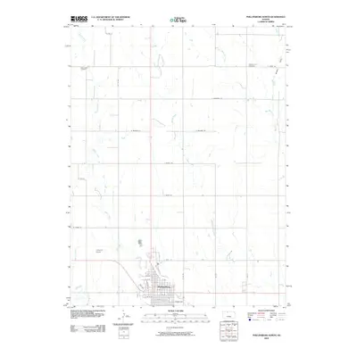
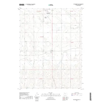
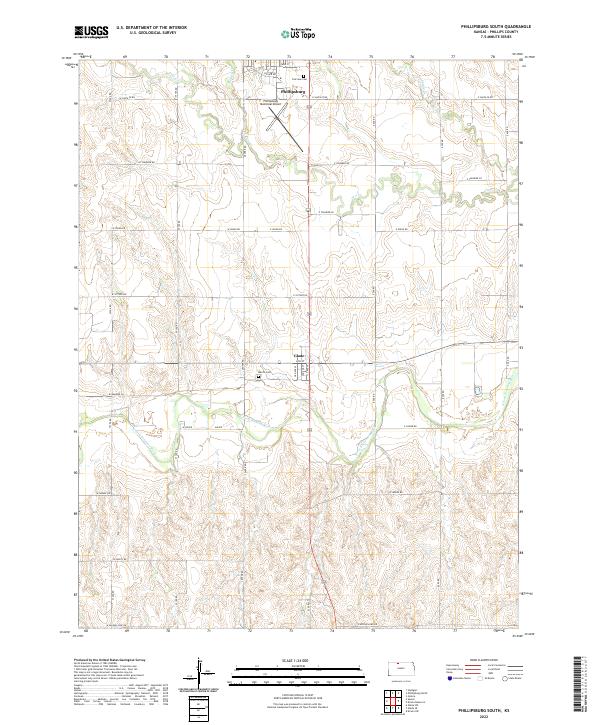 2022 Phillipsburg South2022 Print · USGSPhillips County is captured here in the early 2020s, showcasing the agricultural heartland between the city of Phillipsburg and the N Fork Solomon River. Genealogists and local historians can locate Marvin Cem, the small community of Glade, and a dense network of rural section roads.
 - 2022 Map of Phillipsburg North, 2022 Print
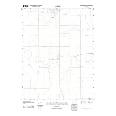
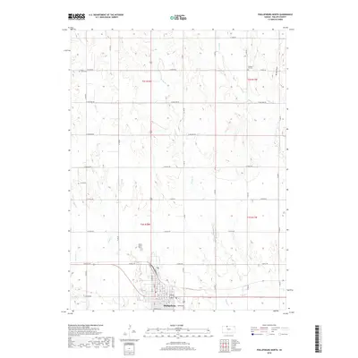
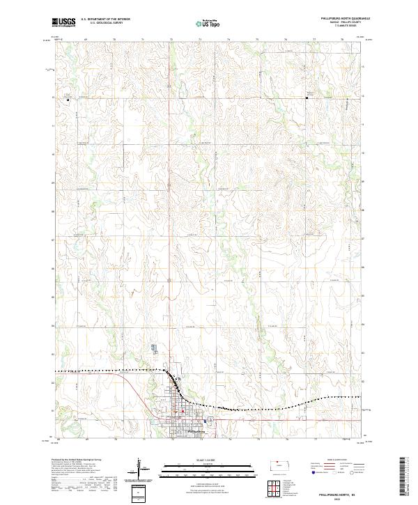 2022 Phillipsburg North2022 Print · USGSNorth of the county seat in the early twenty-first century, this area of Kansas shows the intersection of deep-rooted agriculture and prairie hydrology. Researchers can locate family sites near Iowa Union Cem, Pleasant Hill Cem, and the Phillips County Courthouse.
End of results
Showing maps 1-16 of 16
Top cities near Phillipsburg
- Agra historical maps
- Kirwin historical maps
- Long Island historical maps
- Glade historical maps
- Speed historical maps
Frequently asked questions
- What are the different types of historical maps available for Phillipsburg?
- What is the oldest map of Phillipsburg?
- Where can I purchase historical maps of Phillipsburg for my home or office?
- Where can I download high-res historical maps of Phillipsburg?
- Are there historical topographic maps available for Phillipsburg?
- Is there historical aerial imagery available for Phillipsburg?
- Where are historical maps of Phillipsburg sourced from?