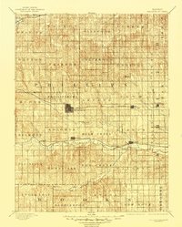
1893 Map of Phillipsburg
USGS Topo · Published 1945About this map
Phillipsburg serves as the central hub of this North Central Kansas landscape, surveyed during a period when steel rails were defining the region's future. Three distinct rail lines cut across the territory: the Chicago Rock Island and Pacific Railroad through the center, the Missouri Pacific Railroad following the valley of the North Fork Solomon River, and the Burlington and Missouri River Railroad touching the northwestern corner at Woodruff.
Find a feature on this map
53 named features on this map. Tap any name to fly to it.
Don’t see what you’re looking for? This feature index may not catch every label — zoom into the map to look around manually.
Map Details
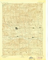
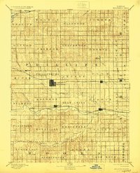
Editions of this 1893 Phillipsburg Map
4 editions found
Other maps of this area

1893 · Smith Center
USGS Topo · 1:125,000

1893 · Norton
USGS Topo · 1:125,000

1893 · Phillipsburg
USGS Topo · 1:125,000

1893 · Hill
USGS Topo · 1:125,000

1896 · Holdrege
USGS Topo · 1:125,000

1896 · Osborne
USGS Topo · 1:125,000

1896 · Arapahoe
USGS Topo · 1:125,000

1896 · Plainville
USGS Topo · 1:125,000

1897 · Red Cloud
USGS Topo · 1:125,000

1898 · Arapahoe
USGS Topo · 1:125,000