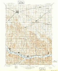
1896 Map of Holdrege
USGS Topo · Published 1949About this map
The Republican River valley defines the southern edge of this late nineteenth-century Nebraska landscape, providing a fertile contrast to the high, dry tablelands of the Divide. Surveyed in the early 1890s, the map documents the critical arrival of the railroad, which dictated the placement of nearly every settlement. The Burlington and Missouri River R.R. bisects the county, connecting hubs like Holdrege and Axtell to the wider world.
Find a feature on this map
72 named features on this map. Tap any name to fly to it.
Don’t see what you’re looking for? This feature index may not catch every label — zoom into the map to look around manually.
Map Details
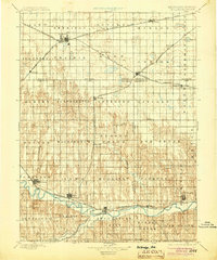
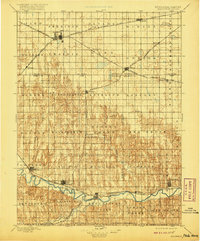
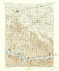
Editions of this 1896 Holdrege Map
5 editions found
Other maps of this area

1893 · Smith Center
USGS Topo · 1:125,000

1893 · Norton
USGS Topo · 1:125,000

1893 · Phillipsburg
USGS Topo · 1:125,000

1894 · Kearney
USGS Topo · 1:62,500

1894 · Minden
USGS Topo · 1:62,500

1896 · Lexington
USGS Topo · 1:125,000

1896 · Holdrege
USGS Topo · 1:125,000

1896 · Kearney
USGS Topo · 1:125,000

1896 · Arapahoe
USGS Topo · 1:125,000

1896 · Wood River
USGS Topo · 1:125,000