Old Maps of Hastings, Nebraska
Explore 26 old maps of Hastings, spanning from 1898 to today. These high-resolution historic maps reveal how streets, neighborhoods, landmarks, and natural features evolved over time — perfect for genealogy, metal detecting, research, and local history exploration.
What you can do with these maps:
- See how Hastings changed over time: Compare historical maps to modern-day views to trace roads, homesites, rail lines & more.
- View detailed metadata: Each map includes creators, publishers, year, scale, and archive source.
- Overlay maps with satellite & LiDAR: Visualize the past alongside modern tools to explore terrain & human change.
- Trusted historical sources: Maps sourced from the USGS, Library of Congress, and other archives.
- Access maps your way: View online, download high-res files, or order prints for personal or research use.
Start exploring old maps of Hastings to uncover forgotten places, hidden landmarks, and the deep history beneath your feet.
Hastings, NE maps
(26)- 1898 Map of Grand Island
 1898 Grand Island1898 Print · USGSCentral Nebraska is captured in the late 1890s as a bustling rail and agricultural crossroads centered on the Platte River. Genealogists and historians can trace early settlements like Doniphan and Harvard or the grounds of the Insane Asylum outside Hastings.4 unique versions available
 - 1955 Map of Grand Island, 1967 Print
 1955 Grand Island1967 Print · USGSCentral Nebraska is seen here during a period of industrial and agricultural growth, centered on the vital Platte River corridor. Researchers can trace the mid-century footprints of the U S Naval Ammunition Depot and the Cornhusker Ordnance Plant.3 unique versions available
 - 1957 Map of Grand Island
 1957 Grand Island1957 Print · USGSCentral Nebraska and Northern Kansas are shown here during a period of massive hydraulic and military expansion in the mid-fifties. Researchers can trace the development of the Harlan County Reservoir and the massive wartime legacy of the Cornhusker Ordnance Plant.
 - 1958 Map of Grand Island
 1958 Grand Island1958 Print · USGSSouth-central Nebraska thrived as a rail and industrial hub during the late fifties, shaped by the braided Platte River. Genealogists and historians can trace rail lines like the Union Pacific RR through towns such as Kearney or locate the sprawling Cornhusker Ordnance Plant.
 - 1969 Map of Hastings East, 1971 Print
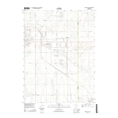
 1969 Hastings East1971 Print · USGSThe prairie east of Hastings in the late sixties is dominated by a sprawling defense landscape and rail corridors. Trace the infrastructure of the U S Naval Ammunition Depot (Abandoned) or locate family sites like St Pauls Ch and Inland Cem.
 - 1969 Map of Trumbull, 1971 Print
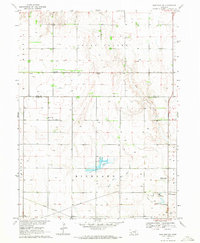
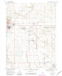
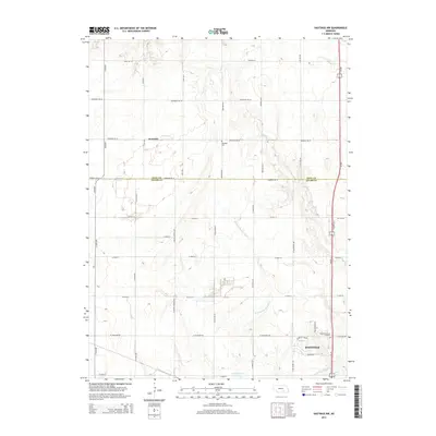
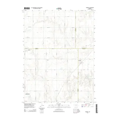
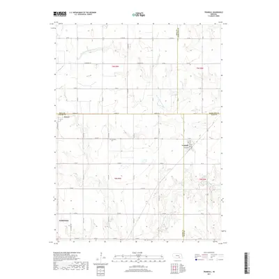
 1969 Trumbull1971 Print · USGSNear the intersection of four Nebraska counties in the late sixties, this survey shows a thriving agricultural hub shaped by rail and river. Researchers can pinpoint School No 33, the Greenwood Cem, and the village of Trumbull along the Burlington Northern.
 - 1969 Map of Hastings West, 1971 Print
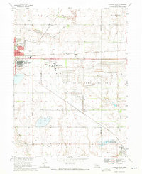
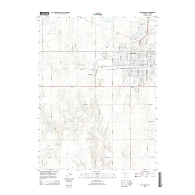
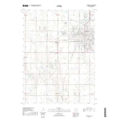
 1969 Hastings West1971 Print · USGSHastings was expanding westward in the late 1960s, balancing its growing suburban residential grid against its deep-rooted rail and agricultural ties. Researchers can trace the massive Hastings State Hospital complex and local landmarks like the Crosier Monastery and Highland Cem.3 unique versions available
 - 1969 Map of Hastings NW, 1971 Print
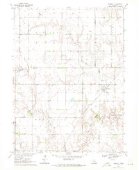
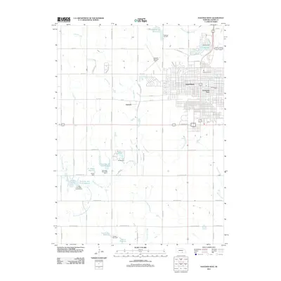
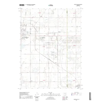
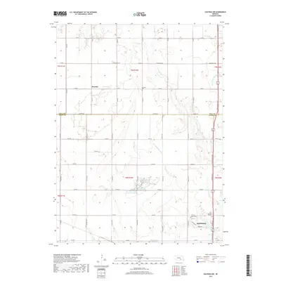
 1969 Hastings NW1971 Print · USGSAdams County farmland meets the Big Blue River in the late sixties as the regional landscape undergoes modernization. Genealogists and historians can trace the Union Pacific rail line past Highland Ch, Rosedale, and the Kernan Lagoon.2 unique versions available
 - 1983 Map of Hastings East, 1984 Print
 1983 Hastings East1984 Print · USGSHastings and the Adams County countryside are captured here in the early eighties, showing a landscape defined by rail and military history. Genealogists and local historians can locate Mount Sinai Ch, Parkview Cem, and the small community of Glenville.
 - 1985 Map of Grand Island
 1985 Grand Island1985 Print · USGSThe Platte River valley in the mid-eighties shows a landscape of braided river channels and massive military-industrial sites. Trace the layout of the Cornhusker Ordnance Plant and find family landmarks like Parkview Cem or Good Samaritan Village.2 unique versions available
 - 2011 Map of Trumbull, 2011 Print
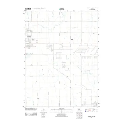
 2011 Trumbull2011 Print · USGSCovers Hastings, including Hansen, Trumbull, and other nearby areas
 - 2011 Map of Hastings NW, 2011 Print
 2011 Hastings NW2011 Print · USGSCovers Hastings, including Rosedale, Hall County, and other nearby areas
 - 2011 Map of Hastings East, 2011 Print
 2011 Hastings East2011 Print · USGSCovers Hastings, including Blaine, Glenvil, and other nearby areas
 - 2011 Map of Hastings West, 2011 Print
 2011 Hastings West2011 Print · USGSCovers Hastings, including Ingleside, Countryside Parks, and other nearby areas
 - 2014 Map of Hastings West, 2014 Print
 2014 Hastings West2014 Print · USGSCovers Hastings, including Ingleside, Countryside Parks, and other nearby areas
 - 2014 Map of Hastings East, 2014 Print
 2014 Hastings East2014 Print · USGSCovers Hastings, including Blaine, Glenvil, and other nearby areas
 - 2014 Map of Hastings NW, 2014 Print
 2014 Hastings NW2014 Print · USGSCovers Hastings, including Rosedale, Hall County, and other nearby areas
 - 2014 Map of Trumbull, 2014 Print
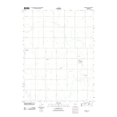
 2014 Trumbull2014 Print · USGSCovers Hastings, including Hansen, Trumbull, and other nearby areas
 - 2017 Map of Hastings West, 2017 Print
 2017 Hastings West2017 Print · USGSCovers Hastings, including Ingleside, Countryside Parks, and other nearby areas
 - 2017 Map of Hastings East, 2017 Print
 2017 Hastings East2017 Print · USGSCovers Hastings, including Blaine, Glenvil, and other nearby areas
 - 2017 Map of Trumbull, 2017 Print
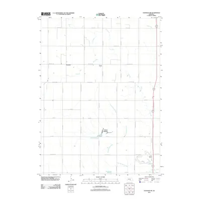
 2017 Trumbull2017 Print · USGSCovers Hastings, including Hansen, Trumbull, and other nearby areas
 - 2017 Map of Hastings NW, 2017 Print
 2017 Hastings NW2017 Print · USGSCovers Hastings, including Rosedale, Hall County, and other nearby areas
 - 2021 Map of Hastings NW, 2021 Print
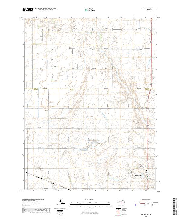 2021 Hastings NW2021 Print · USGSThe northern edges of Hastings meet the rural Adams County prairie in this 2021 study of the region's agricultural and suburban growth. Researchers can trace the section-line roads connecting the Rosedale community to landmarks like Kernan Lagoon and Sunset Memorial Gardens Cem.
 - 2021 Map of Hastings West, 2021 Print
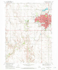
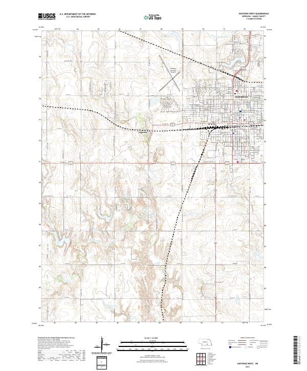 2021 Hastings West2021 Print · USGSAdams County, Nebraska, is seen here in a modern era, balancing the urban growth of Hastings with the region's agricultural roots. Researchers can trace the BNSF Railway corridor or locate local landmarks like the Adams County Courthouse and Ingleside.
 - 2021 Map of Hastings East, 2021 Print
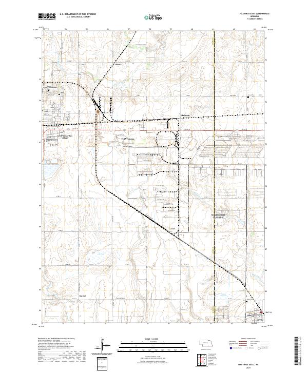 2021 Hastings East2021 Print · USGSThe eastern outskirts of Hastings and the surrounding prairie are captured here in the early twenty-first century. Researchers can locate historic burial sites like Mount Sinai Cem and trace the footprints of Hastings College or the village of Glenvil.
Showing maps 1-25 of 26
Top cities near Hastings
- Wood River historical maps
- Doniphan historical maps
- Juniata historical maps
- Blaine historical maps
- Glenvil historical maps
- Roseland historical maps
See more
Top neighborhoods of Hastings
- Kingswood Plaza historical maps
- Countryside Parks historical maps
- Good Samaritan Village historical maps
- Bonnavilla and Eastgate Mobile Home Park historical maps
- Shady Lane Trailer Court historical maps
- Smittys Mobile Home Plaza historical maps
Frequently asked questions
- What are the different types of historical maps available for Hastings?
- What is the oldest map of Hastings?
- Where can I purchase historical maps of Hastings for my home or office?
- Where can I download high-res historical maps of Hastings?
- Are there historical topographic maps available for Hastings?
- Is there historical aerial imagery available for Hastings?
- Where are historical maps of Hastings sourced from?