2020s Maps of Hastings, Nebraska
Explore 4 historic maps of Hastings from the 2020s. These maps offer a rare glimpse into what life looked like during the 2020s — showing old roads, neighborhoods, homes, and landmarks that have changed or disappeared over time.
Whether you're researching your family's past, planning a metal detecting trip, or studying how Hastings's landscape evolved across the 2020s, these high-resolution maps are a powerful tool for exploring the history of this region.
- Focus on a specific era: All maps on this page are from the 2020s, giving you a focused view of this time period.
- See what’s changed: Compare century-old streets, trails, and buildings to today's modern landscape using overlays and satellite layers.
- Research with precision: Use these maps for genealogy, historical research, land use analysis, or educational projects.
- View, download, or print: Maps are fully viewable online in high resolution, and can be downloaded or printed for your own records.
Start exploring Hastings's history through authentic maps from the 2020s. This is your window into the past.
Hastings, NE maps
(4)- 2021 Map of Hastings NW, 2021 Print
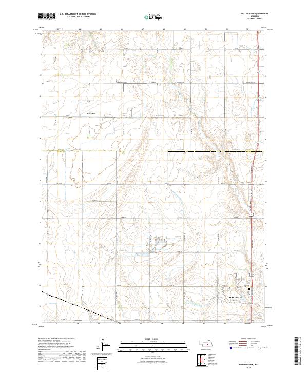 2021 Hastings NW2021 Print · USGSThe northern edges of Hastings meet the rural Adams County prairie in this 2021 study of the region's agricultural and suburban growth. Researchers can trace the section-line roads connecting the Rosedale community to landmarks like Kernan Lagoon and Sunset Memorial Gardens Cem.
 - 2021 Map of Hastings West, 2021 Print
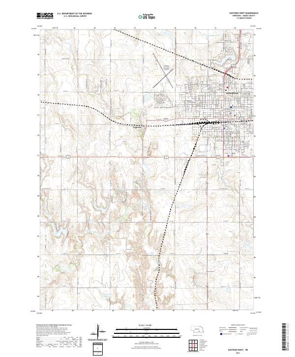 2021 Hastings West2021 Print · USGSAdams County, Nebraska, is seen here in a modern era, balancing the urban growth of Hastings with the region's agricultural roots. Researchers can trace the BNSF Railway corridor or locate local landmarks like the Adams County Courthouse and Ingleside.
 - 2021 Map of Hastings East, 2021 Print
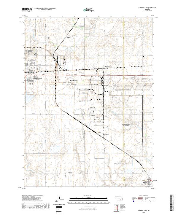 2021 Hastings East2021 Print · USGSThe eastern outskirts of Hastings and the surrounding prairie are captured here in the early twenty-first century. Researchers can locate historic burial sites like Mount Sinai Cem and trace the footprints of Hastings College or the village of Glenvil.
 - 2021 Map of Trumbull, 2021 Print
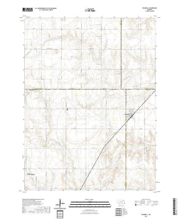 2021 Trumbull2021 Print · USGSTrumbull and its surrounding Nebraska farmlands are shown at the intersection of four counties during the early twenty-first century. Genealogists and local researchers can locate Greenwood Cem, the settlement of Hansen, and the waters of Arnold Reservoir.
End of results
Showing maps 1-4 of 4
Top cities near Hastings
- Wood River historical maps
- Doniphan historical maps
- Juniata historical maps
- Blaine historical maps
- Glenvil historical maps
- Roseland historical maps
See more
Top neighborhoods of Hastings
- Kingswood Plaza historical maps
- Countryside Parks historical maps
- Good Samaritan Village historical maps
- Bonnavilla and Eastgate Mobile Home Park historical maps
- Shady Lane Trailer Court historical maps
- Smittys Mobile Home Plaza historical maps
Frequently asked questions
- What are the different types of historical maps available for Hastings?
- What is the oldest map of Hastings?
- Where can I purchase historical maps of Hastings for my home or office?
- Where can I download high-res historical maps of Hastings?
- Are there historical topographic maps available for Hastings?
- Is there historical aerial imagery available for Hastings?
- Where are historical maps of Hastings sourced from?