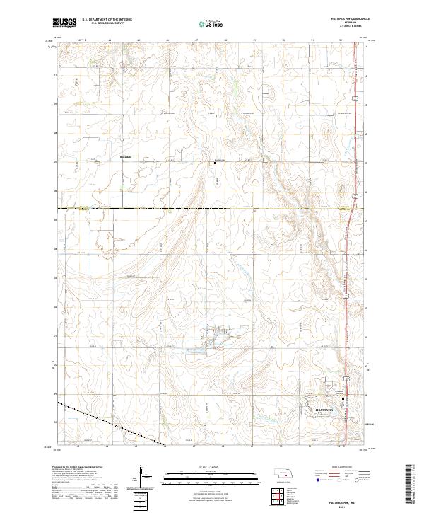
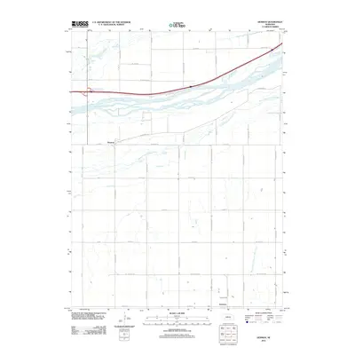
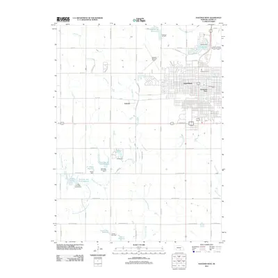
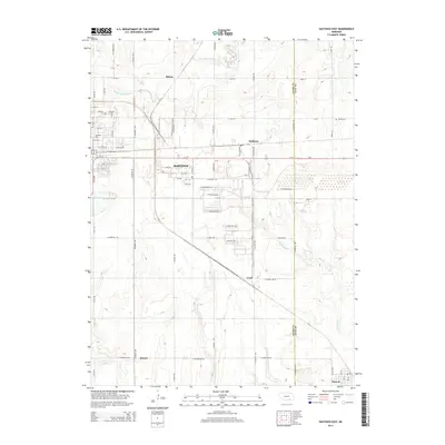
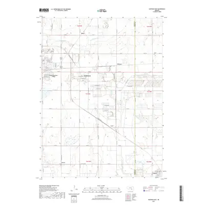
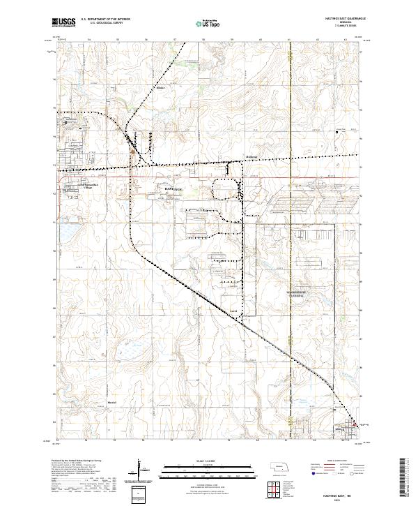
2021 Map of Hastings NW
USGS Topo · Published 2021About this map
Hastings expands northward into the agricultural plains of Adams County on this recent survey, showing the transition from suburban development to the traditional section-line road network. The landscape is defined by the headwaters and drainage of the W Fork Big Blue River and its tributaries like Flat Cr and Flint Cr. To the north, the small community of Rosedale and its associated Rosedale Cem represent the rural backbone of the region, anchored by decades of farming history. Significant modern infrastructure is present, including the Tom Osborne Expy and the residential growth near Sunset Memorial Gardens Cem. The presence of the Kernan Lagoon offers a distinct hydrologic feature in a territory largely dominated by vast fields and a meticulous grid of county roads.
Find a feature on this map
49 named features on this map. Tap any name to fly to it.
Don’t see what you’re looking for? This feature index may not catch every label — zoom into the map to look around manually.
Map Details
Editions of this 2021 Hastings NW Map
This is the sole edition of this map. No revisions or reprints were ever made.
Historical Maps of Hastings Through Time
26 maps found
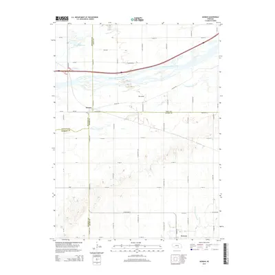
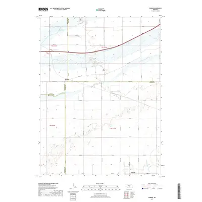
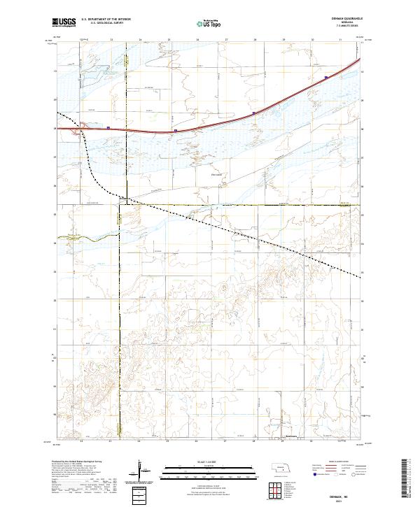
1962 Denman
Adams County, NE
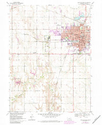
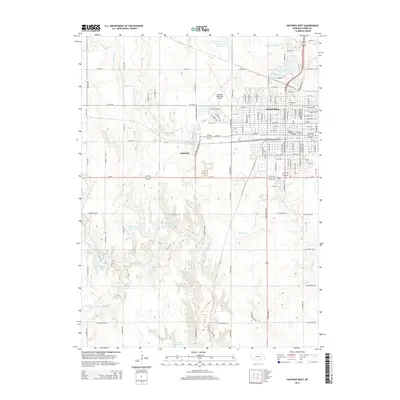
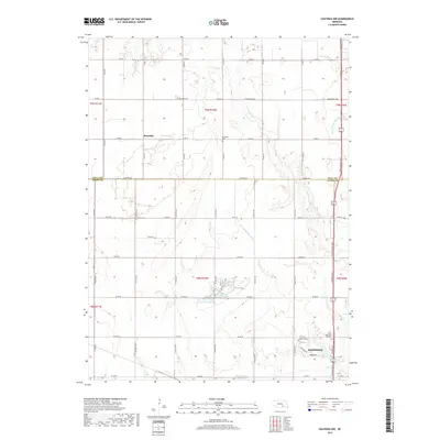
1969 Hastings East
Adams County, NE
1969 Hastings NW
Adams County, NE
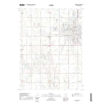
1969 Hastings West
Adams County, NE
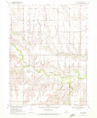
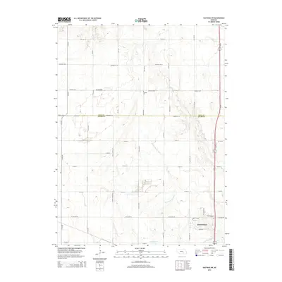
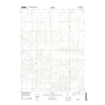
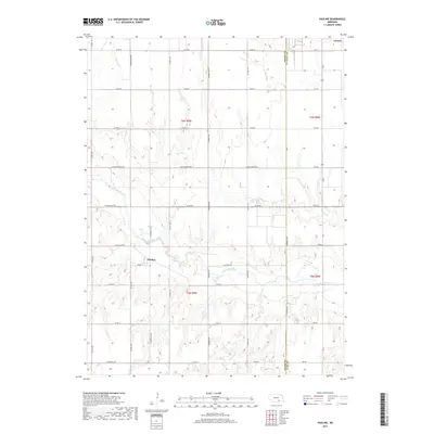
1969 Pauline
Adams County, NE
1983 Hastings East
Adams County, NE
2011 Denman
Adams County, NE
2011 Hastings East
Adams County, NE
2011 Hastings NW
Adams County, NE
2011 Hastings West
Adams County, NE
2011 Pauline
Adams County, NE
2014 Denman
Adams County, NE
2014 Hastings East
Adams County, NE
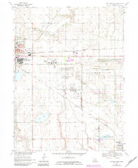
2014 Hastings NW
Adams County, NE
2014 Hastings West
Adams County, NE
2014 Pauline
Adams County, NE
2017 Denman
Adams County, NE
2017 Hastings East
Adams County, NE
2017 Hastings NW
Adams County, NE
2017 Hastings West
Adams County, NE
2017 Pauline
Adams County, NE
2021 Denman
Adams County, NE
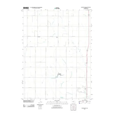
2021 Hastings East
Adams County, NE
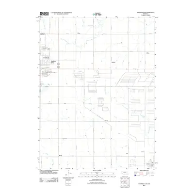
2021 Hastings NW
Adams County, NE
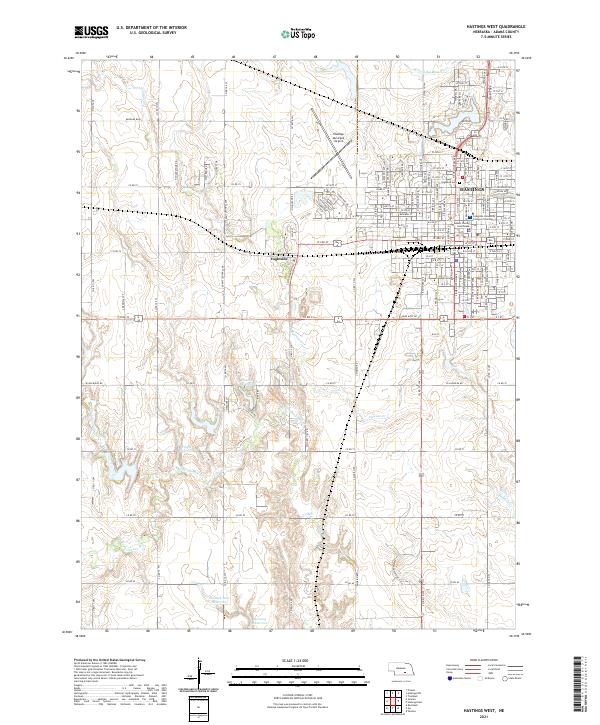
2021 Hastings West
Adams County, NE
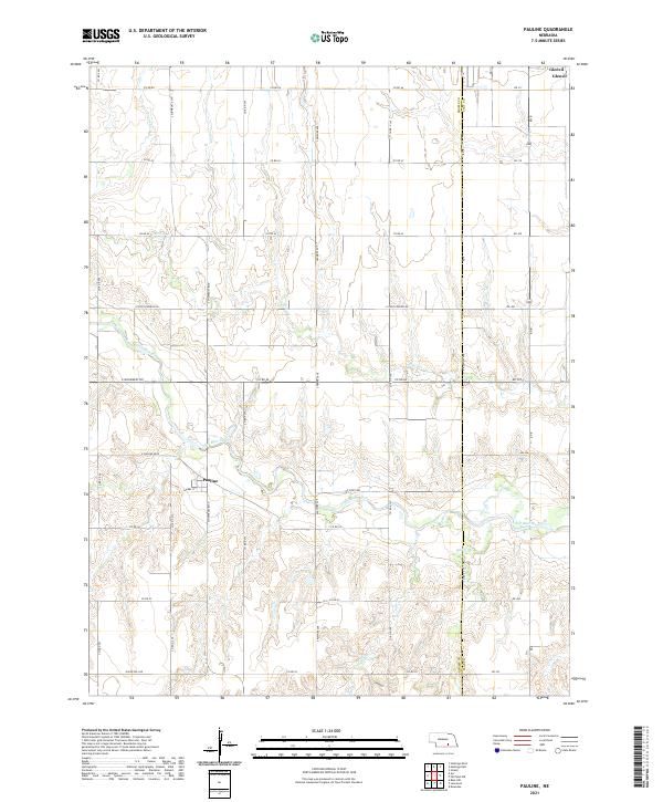
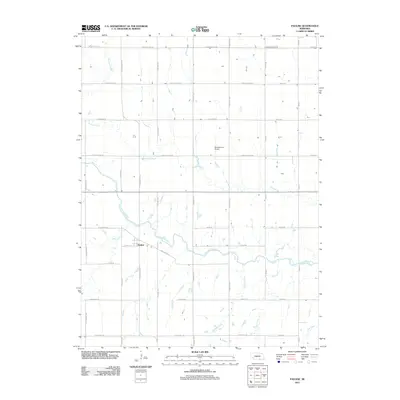
2021 Pauline
Adams County, NE