
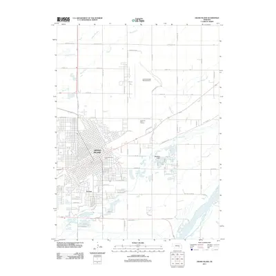
1957 Map of Grand Island
USGS Topo · Published 1957About this map
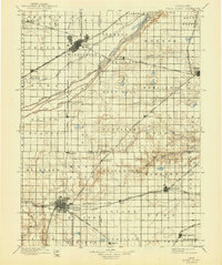
The Platte River valley defines the northern landscape of this mid-century survey, its braiding waters flanked by a complex network of irrigation works like the Phelps County Canal and the Dawson County Canal. This era highlights the heavy industrial and military footprint in the region, dominated by the sprawling U S Naval Ammunition Depot east of Hastings and the Cornhusker Ordnance Plant near Grand Island.
Find a feature on this map
165 named features on this map. Tap any name to fly to it.
Don’t see what you’re looking for? This feature index may not catch every label — zoom into the map to look around manually.
Map Details
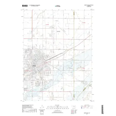
Editions of this 1957 Grand Island Map
This is the sole edition of this map. No revisions or reprints were ever made.
Historical Maps of Grand Island Through Time
12 maps found

1892 Grand Island
Hall County, NE

1895 Grand Island
Hall County, NE
1898 Grand Island
Hall County, NE
1955 Grand Island
Hall County, NE
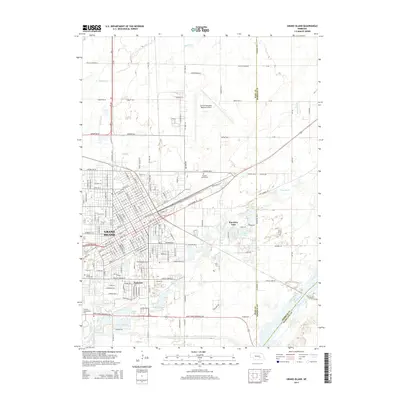
1957 Grand Island
Hall County, NE

1958 Grand Island
Hall County, NE
1962 Grand Island
Hall County, NE
1985 Grand Island
Hall County, NE
2011 Grand Island
Hall County, NE
2014 Grand Island
Hall County, NE
2017 Grand Island
Hall County, NE
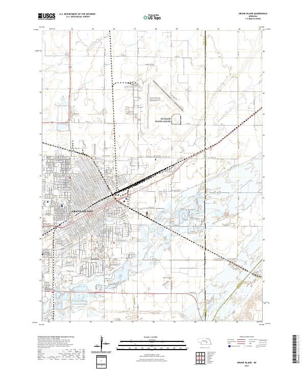
2021 Grand Island
Hall County, NE