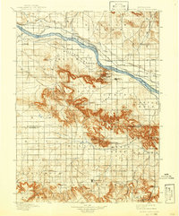
1898 Map of Scotts Bluff
USGS Topo · Published 1942About this map
The North Platte River serves as the focal point for this late 19th-century survey of western Nebraska, where the landscape transitions from the broad Mitchell Bottom to the dramatic bluffs of the Roubadeau and Scotts Bluff National Monument. The early irrigation infrastructure of the high plains is visible through the Farmers Canal and Enterprise Canal, supporting the growing settlements of Gering, Mitchell, and Scottsbluff.
Find a feature on this map
60 named features on this map. Tap any name to fly to it.
Don’t see what you’re looking for? This feature index may not catch every label — zoom into the map to look around manually.
Map Details
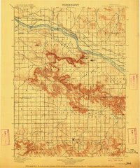
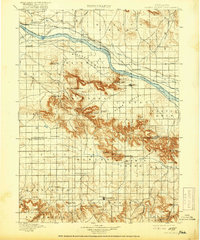
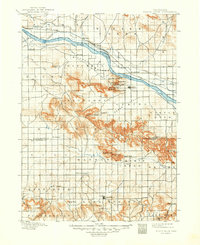
Editions of this 1898 Scotts Bluff Map
5 editions found
Other maps of this area

1896 · Patrick
USGS Topo · 1:125,000

1898 · Scotts Bluff
USGS Topo · 1:125,000

1898 · Camp Clarke
USGS Topo · 1:125,000

1899 · Goshen Hole
USGS Topo · 1:125,000

1899 · Whistle Creek
USGS Topo · 1:125,000

1951 · Kilpatrick Lake
USGS Topo · 1:62,500

1954 · Scottsbluff
USGS Topo · 1:250,000

1954 · Torrington
USGS Topo · 1:250,000

1954 · Cheyenne
USGS Topo · 1:250,000

1955 · Alliance
USGS Topo · 1:250,000