2022 Map of Eden
USGS Topo · Published 2022About this map
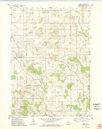
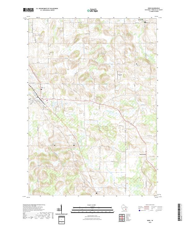
The village of Eden serves as a primary hub in this portion of Fond du Lac County, situated where Fond du Lac Ave meets the surrounding rural landscape. The area is defined by a dense network of country roads like Co Rd B and Co Rd U, which connect the small settlements of Dotyville to the north and Waucousta to the southeast. This 2022 survey captures a landscape punctuated by numerous burial grounds, including Empire Cem and Saint Mary's Cem, reflecting the deep-rooted genealogical history of the local farming community.
Find a feature on this map
77 named features on this map. Tap any name to fly to it.
Don’t see what you’re looking for? This feature index may not catch every label — zoom into the map to look around manually.
Map Details
Editions of this 2022 Eden Map
This is the sole edition of this map. No revisions or reprints were ever made.