Loading...
Loading map...2022 Map of Edson
USGS Topo · Published 2022About this map
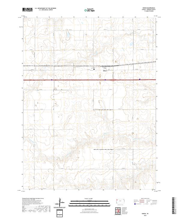
Edson serves as the central focal point of this Sherman County landscape, situated along the historic corridor of Old US Hwy-24. The settlement is defined by its proximity to the rural road network, where Edson Cem provides a genealogical touchstone for local history researchers. The surrounding terrain is carved by the meandering path of S Fork Sappa Cr, which creates a distinct drainage pattern across the township and range sections.
Find a feature on this map
25 named features on this map. Tap any name to fly to it.
Don’t see what you’re looking for? This feature index may not catch every label — zoom into the map to look around manually.
Map Details
Date Portrayed2022
Date Published2022
PublisherU.S. Geological Survey
Map TypeTopographic
Scale1:24000
Physical Dimensions24 x 29 inches
Editions of this 2022 Edson Map
This is the sole edition of this map. No revisions or reprints were ever made.
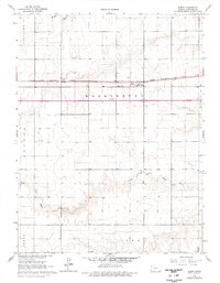
Historical Maps of Edson Through Time
Featured Locations
Source Details
SourceU.S. Geological Survey
CopyrightPublic Domain