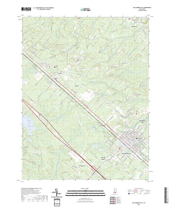
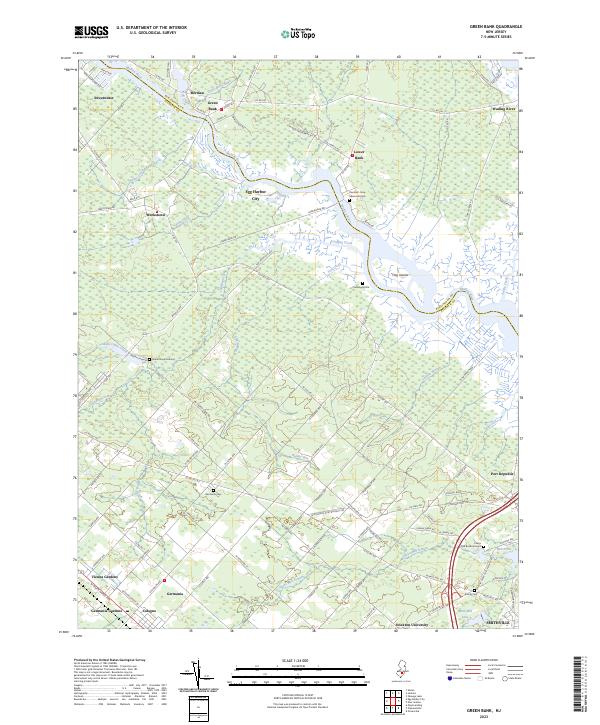
2023 Map of Egg Harbor City
USGS Topo · Published 2023About this map
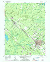
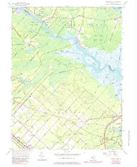
White Horse Pike serves as the primary corridor through this section of Atlantic County, connecting a string of small settlements including Elwood, Devonshire, and Carmantown. The landscape is defined by the dense network of tributaries feeding into the Great Egg Harbor River system, such as Indian Cabin Creek and Nortons Branch. To the west, Makepeace Lake and Makepeace Stream dominate the terrain, while the eastern portion transitions into the grid of Egg Harbor City. Genealogical interest is concentrated at several distinct locations, including the Charles Williams Burial Site and the Saint Nicholas Roman Catholic Church Cemetery. The map captures a mix of residential expansion in South Egg Harbor alongside the persistent wetlands of Big Goose Pond and Little Goose Pond, illustrating the balance between mid-coast development and the preservation of the surrounding Pine Barrens environment.
Find a feature on this map
124 named features on this map. Tap any name to fly to it.
Don’t see what you’re looking for? This feature index may not catch every label — zoom into the map to look around manually.
Map Details
Editions of this 2023 Egg Harbor City Map
This is the sole edition of this map. No revisions or reprints were ever made.
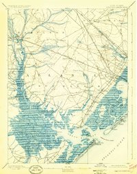
Historical Maps of Elwood Through Time
17 maps found

1890 Great Egg Harbor
Atlantic County, NJ

1890 Mullica
Atlantic County, NJ
1893 Great Egg Harbor
Atlantic County, NJ

1894 Mullica
Atlantic County, NJ
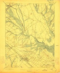
1898 Egg Harbor
Atlantic County, NJ

1918 Great Egg Harbor
Atlantic County, NJ

1919 Mullica
Atlantic County, NJ

1942 Egg Harbor
Atlantic County, NJ
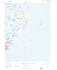
1952 Brigantine Inlet
Atlantic County, NJ
1956 Egg Harbor City
Atlantic County, NJ
1956 Green Bank
Atlantic County, NJ
1989 Brigantine Inlet
Atlantic County, NJ
1994 Brigantine Inlet
Atlantic County, NJ
1997 Green Bank
Atlantic County, NJ
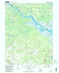
2023 Brigantine Inlet
Atlantic County, NJ
2023 Egg Harbor City
Atlantic County, NJ
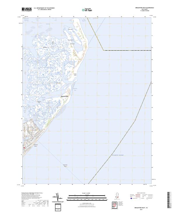
2023 Green Bank
Atlantic County, NJ
Featured Locations
- Galloway Township, NJ
- Hamilton Township, NJ
- Mullica Township, NJ
- Egg Harbor City, NJ
- Washington Township, NJ