2022 Map of Eitzen
USGS Topo · Published 2022About this map
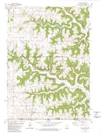
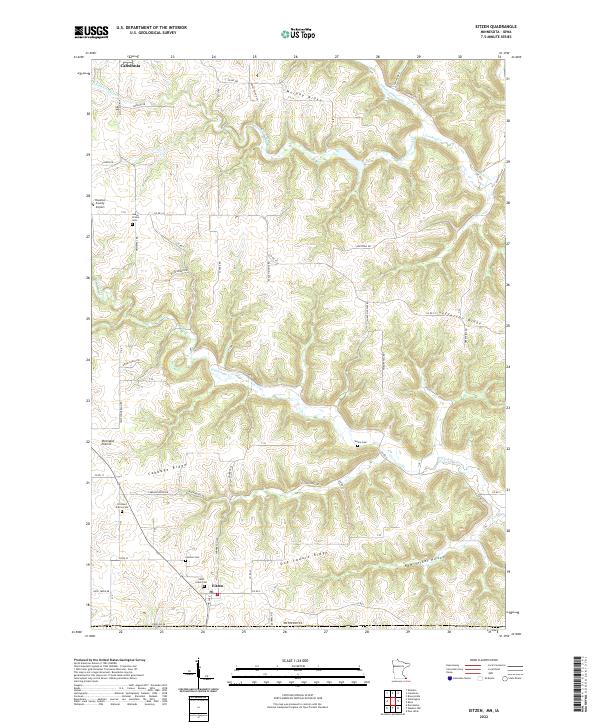
Eitzen sits at the southern edge of this Houston County landscape, where the agricultural uplands meet the complex drainage systems of the Upper Mississippi River valley. The terrain is characterized by a series of prominent high points, including Murphy Ridge and the unusually named Dog Square Ridge, which separate the deeply carved valleys of Winnebago Cr and Crooked Cr. The settlement pattern reflects a long-standing rural community, with several historic burial grounds such as Portland Prairie Cem and Saint Lukes Cem serving the surrounding farmsteads. To the northwest, the Houston County Airport and the edge of Caledonia indicate modern development encroaching on the traditional landscape of Portland Prairie. This area, just north of the Iowa border, showcases a transition from flat agricultural plateaus into dramatic local relief like New Yorker Hollow.
Find a feature on this map
69 named features on this map. Tap any name to fly to it.
Don’t see what you’re looking for? This feature index may not catch every label — zoom into the map to look around manually.
Map Details
Editions of this 2022 Eitzen Map
This is the sole edition of this map. No revisions or reprints were ever made.