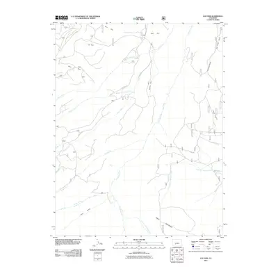
2011 Map of Elk Park
USGS Topo · Published 2011About this map
Cochetopa Creek and its many tributaries, including North Fork Saguache Creek and Stewart Creek, define the complex drainage patterns of this high-altitude landscape in Saguache County. The terrain is characterized by expansive, named clearings known as parks, such as Elk Park, Soro Park, Blue Park, and Ignacio Park, which appear as distinct basins among the rising slopes. The southern edge of the survey is dominated by the massive landform of Table Mountain and the deep incision of Cañon Hondo. Transportation in this remote area is limited to rugged routes like Co RD 14 DD and Co RD y16, illustrating the isolation of these drainage basins. Other notable geographic features include Van Tassel Gulch and Horse Canyon, which feed into the primary creek systems that have shaped the region's topography.
Find a feature on this map
22 named features on this map. Tap any name to fly to it.
Don’t see what you’re looking for? This feature index may not catch every label — zoom into the map to look around manually.
Map Details
Editions of this 2011 Elk Park Map
This is the sole edition of this map. No revisions or reprints were ever made.
Other maps of this area
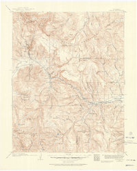
1914 · Creede
USGS Topo · 1:125,000
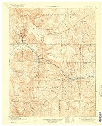
1916 · Creede
USGS Topo · 1:125,000

1945 · Durango
USGS Topo · 1:250,000

1953 · Durango
USGS Topo · 1:250,000
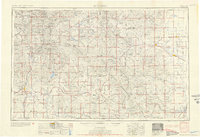
1954 · Durango
USGS Topo · 1:250,000

1956 · Montrose
USGS Topo · 1:250,000
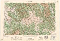
1959 · Montrose
USGS Topo · 1:250,000
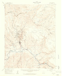
1959 · Creede
USGS Topo · 1:62,500
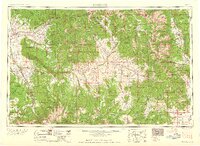
1960 · Montrose
USGS Topo · 1:250,000
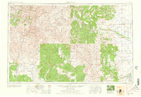
1961 · Durango
USGS Topo · 1:250,000