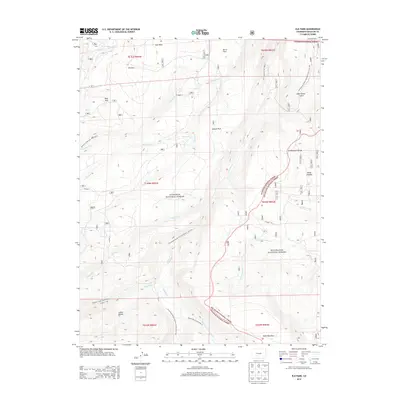
2013 Map of Elk Park
USGS Topo · Published 2013About this map
The Continental Divide creates a high-altitude spine through this landscape, marking the boundary between the Gunnison National Forest and the Rio Grande National Forest. The 2013 survey illustrates a network of wilderness routes, most notably the Continental Divide National Scenic Trail NST winding through high parks and drainages. A series of open meadows, or parks, are scattered across the terrain, including Soro Park, Elk Park, Burro Park, and Blue Park, providing breaks in the high-elevation forest cover. The mapping of named trails like the Stewart Creek Trail 9470.0 and Skyline Trail 9465.0 reflects the area's importance for backcountry navigation. Headwaters for several streams, such as Pauline Cr and Cochetopa Cr, flow from these heights, following the deep topography of Cañon Hondo and Van Tassel Gulch.
Find a feature on this map
38 named features on this map. Tap any name to fly to it.
Don’t see what you’re looking for? This feature index may not catch every label — zoom into the map to look around manually.
Map Details
Editions of this 2013 Elk Park Map
This is the sole edition of this map. No revisions or reprints were ever made.
Other maps of this area
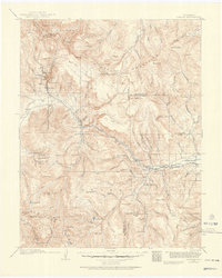
1914 · Creede
USGS Topo · 1:125,000
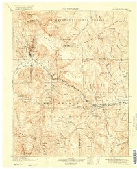
1916 · Creede
USGS Topo · 1:125,000

1945 · Durango
USGS Topo · 1:250,000

1953 · Durango
USGS Topo · 1:250,000
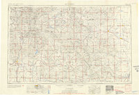
1954 · Durango
USGS Topo · 1:250,000

1956 · Montrose
USGS Topo · 1:250,000
1959 · Montrose
USGS Topo · 1:250,000
1959 · Creede
USGS Topo · 1:62,500
1960 · Montrose
USGS Topo · 1:250,000
1961 · Durango
USGS Topo · 1:250,000