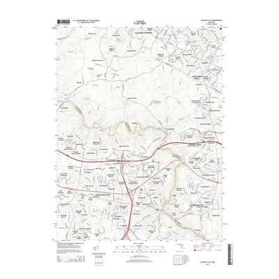
2014 Map of Ellicott City
USGS Topo · Published 2014About this map
Ellicott City and the winding course of the Patapsco River define this suburban landscape in 2014, where the border between Baltimore Co and Howard Co follows the river's path. The map illustrates a densely settled region transitioning from established towns like Randallstown and Woodstock to modern residential developments such as Fields of Harvest and Kingswood Common. This map is particularly useful for identifying small community anchors and burial sites, including Saint Thomas Cem and the Green Sanctuary Memorial Park Cem.
Find a feature on this map
150 named features on this map. Tap any name to fly to it.
Don’t see what you’re looking for? This feature index may not catch every label — zoom into the map to look around manually.
Map Details
Editions of this 2014 Ellicott City Map
This is the sole edition of this map. No revisions or reprints were ever made.
Other maps of this area

1892 · Laurel
USGS Topo · 1:62,500

1892 · Ellicott
USGS Topo · 1:62,500

1894 · Ellicott
USGS Topo · 1:62,500

1894 · Laurel
USGS Topo · 1:62,500

1894 · Baltimore
USGS Topo · 1:62,500

1894 · Relay
USGS Topo · 1:62,500

1897 · Laurel
USGS Topo · 1:62,500

1899 · Baltimore
USGS Topo · 1:62,500

1904 · Baltimore
USGS Topo · 1:62,500

1906 · Ellicott
USGS Topo · 1:62,500