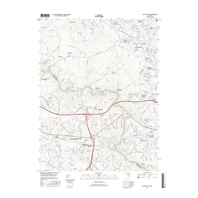
2016 Map of Ellicott City
USGS Topo · Published 2016About this map
Ellicott City sits as a historic anchor along the steep banks of the Patapsco River, where its unique street layout and crossing points connect Howard and Baltimore counties. This 2016 survey illustrates the densely developed residential and commercial areas branching out from the river valley, including Saint Johns Village-Saint Johns Manor and the surrounding neighborhoods of Oella and Gray. The landscape is defined by the sharp relief of the river corridor, featuring landmarks like Buzzards Rock and technical infrastructure such as the Davis Tunnel.
Find a feature on this map
308 named features on this map. Tap any name to fly to it.
Don’t see what you’re looking for? This feature index may not catch every label — zoom into the map to look around manually.
Map Details
Editions of this 2016 Ellicott City Map
This is the sole edition of this map. No revisions or reprints were ever made.
Other maps of this area

1892 · Laurel
USGS Topo · 1:62,500

1892 · Ellicott
USGS Topo · 1:62,500

1894 · Ellicott
USGS Topo · 1:62,500

1894 · Laurel
USGS Topo · 1:62,500

1894 · Baltimore
USGS Topo · 1:62,500

1894 · Relay
USGS Topo · 1:62,500

1897 · Laurel
USGS Topo · 1:62,500

1899 · Baltimore
USGS Topo · 1:62,500

1904 · Baltimore
USGS Topo · 1:62,500

1906 · Ellicott
USGS Topo · 1:62,500