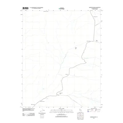
2012 Map of Emigrant Pass
USGS Topo · Published 2012About this map
Emigrant Pass serves as a central landmark in this high-altitude landscape within Inyo County. The geography is defined by a network of drainage features and mountain corridors, including the winding Wildrose Canyon and Nemo Canyon in the southwest. Historical water sources such as Wildrose Spring and Mud Spring are critical markers in this arid environment, often indicating points of interest for local history and genealogy research. The northern portion of the map is dominated by the broad expanse of Harrisburg Flats and the descent into Jayhawker Canyon. Transportation across this terrain is represented by rugged corridors like Mahogany Flat Rd and the path toward Aguereberry Pt, illustrating the connectivity between isolated flats and deep gulches like Rattlesnake Gulch.
Find a feature on this map
14 named features on this map. Tap any name to fly to it.
Don’t see what you’re looking for? This feature index may not catch every label — zoom into the map to look around manually.
Map Details
Editions of this 2012 Emigrant Pass Map
This is the sole edition of this map. No revisions or reprints were ever made.
Other maps of this area

1908 · Ballarat
USGS Topo · 1:250,000

1913 · Ballarat
USGS Topo · 1:250,000

1948 · Death Valley
USGS Topo · 1:250,000
1951 · Panamint Butte
USGS Topo · 1:62,500
1951 · Maturango Peak
USGS Topo · 1:62,500
1952 · Telescope Peak
USGS Topo · 1:62,500
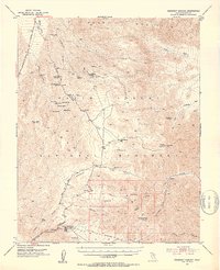
1952 · Emigrant Canyon
USGS Topo · 1:62,500

1954 · Death Valley
USGS Topo · 1:250,000

1956 · Death Valley
USGS Topo · 1:250,000
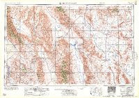
1957 · Death Valley
USGS Topo · 1:250,000