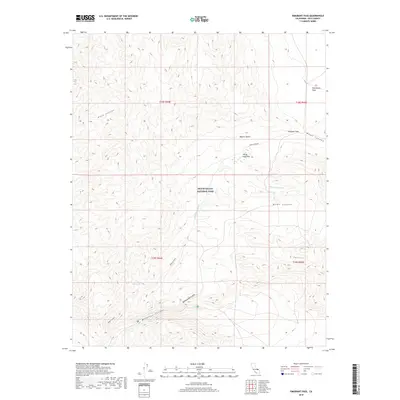
2018 Map of Emigrant Pass
USGS Topo · Published 2018About this map
Death Valley National Park encompasses this high-altitude desert landscape, characterized by dramatic drainage systems and tectonic basins. The terrain is defined by complex canyon networks, including the deep-cut Nova Canyon in the northwest and Wood Canyon to the east. At the center of the sheet, the northern reaches of the Mojave Desert transition into the Panamint Range, where Emigrant Pass provides a critical geographic crossing between watershed divides. Water sources are scarce in this arid environment, making the location of Mud Spring a significant landmark for desert travel and survival. In the southern half of the map, the landscape is scarred by the drainage of Wildrose Canyon and the winding course of Nemo Canyon, illustrating the erosional patterns typical of the Basin and Range province. The northeastern corner contains the open terrain of Harrisburg Flats, a contrast to the steep incisions of Rattlesnake Gulch.
Find a feature on this map
16 named features on this map. Tap any name to fly to it.
Don’t see what you’re looking for? This feature index may not catch every label — zoom into the map to look around manually.
Map Details
Editions of this 2018 Emigrant Pass Map
This is the sole edition of this map. No revisions or reprints were ever made.
Other maps of this area

1908 · Ballarat
USGS Topo · 1:250,000

1913 · Ballarat
USGS Topo · 1:250,000

1948 · Death Valley
USGS Topo · 1:250,000
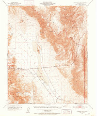
1951 · Panamint Butte
USGS Topo · 1:62,500
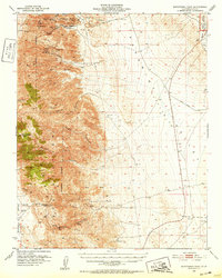
1951 · Maturango Peak
USGS Topo · 1:62,500
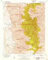
1952 · Telescope Peak
USGS Topo · 1:62,500
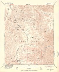
1952 · Emigrant Canyon
USGS Topo · 1:62,500

1954 · Death Valley
USGS Topo · 1:250,000

1956 · Death Valley
USGS Topo · 1:250,000
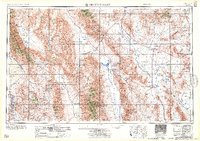
1957 · Death Valley
USGS Topo · 1:250,000