2022 Map of Englewood
USGS Topo · Published 2022About this map
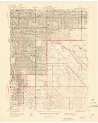
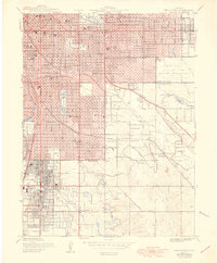
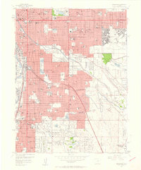
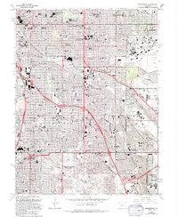
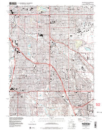
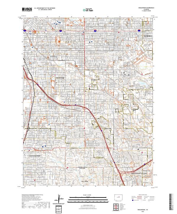
Cherry Hills Village and the urban expansion of Denver define this modern landscape, where historical burial grounds and educational institutions anchor the community. The sprawling grounds of Fairmount Cemetery—including the Emanuel Cem at Fairmount—lie near the winding course of Cherry Creek. The map documents the dense academic corridor featuring the University of Denver, the Iliff School of Theology, and the Saint John Vianney Theological Seminary. A sophisticated network of trails, such as the High Line Canal Trl and Goldsmith Gulch Trl, follows the natural drainages that once dictated the settlement of Sullivan and Cherry Ridge. This survey captures the transition from the manicured estates and reservoirs like Buell Lake to the civic core of Englewood and the judicial centers of the state capital.
Find a feature on this map
87 named features on this map. Tap any name to fly to it.
Don’t see what you’re looking for? This feature index may not catch every label — zoom into the map to look around manually.
Map Details
Editions of this 2022 Englewood Map
This is the sole edition of this map. No revisions or reprints were ever made.
Historical Maps of Denver Through Time
7 maps found