
1978 Map of Epping
USGS Topo · Published 1979About this map
The Burlington Northern railroad serves as the primary corridor through this section of Williams County, connecting the settlements of Epping and Wheelock. This late 1970s landscape is defined by its agricultural character and the transition between established community hubs and the surrounding prairie. Significant local history is preserved at the Wheelock Cem and Epping Cem, which serve as quiet markers of the generations that settled this region. Water features like Stony Creek and Springbrook navigate the terrain, while industrial activity is noted by several Gravel Pits and a Gravel Pit. The map also captures smaller administrative landmarks like the Townhall and infrastructure such as a Radio Tower, illustrating the functional layout of North Dakota rural life before further modern expansion.
Find a feature on this map
17 named features on this map. Tap any name to fly to it.
Don’t see what you’re looking for? This feature index may not catch every label — zoom into the map to look around manually.
Map Details
Editions of this 1978 Epping Map
This is the sole edition of this map. No revisions or reprints were ever made.
Other maps of this area

1911 · Ray
USGS Topo · 1:125,000

1953 · Williston
USGS Topo · 1:250,000

1957 · Williston
USGS Topo · 1:250,000

1969 · Cussicks Spring
USGS Topo · 1:24,000

1978 · Ray
USGS Topo · 1:24,000

1978 · Epping NW
USGS Topo · 1:24,000

1978 · Ray NW
USGS Topo · 1:24,000
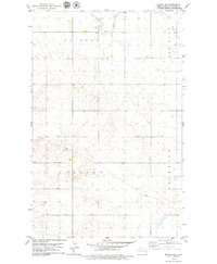
1978 · Epping NE
USGS Topo · 1:24,000

1978 · Spring Brook
USGS Topo · 1:24,000
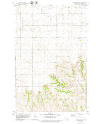
1978 · Gamache Creek
USGS Topo · 1:24,000