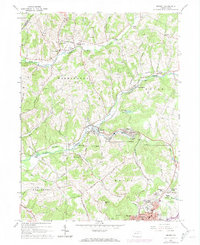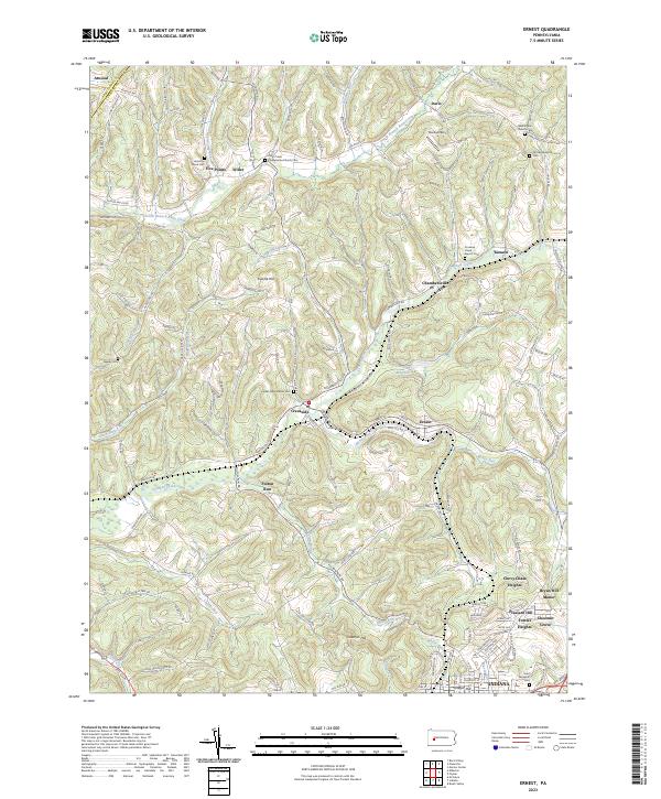
2023 Map of Ernest
USGS Topo · Published 2023About this map
Creekside and Ernest sit at the heart of this western Pennsylvania landscape, where the plateau is deeply carved by the waters of Crooked Creek and its many tributaries. The area's cultural history is mapped through an extensive network of rural churches and burial grounds, such as Plum Creek Presbyterian Church Cem and the Washington Church Cem. These sites, often located on high ground near early settlements like Five Points and Chambersville, reflect the ancestral footprint of Indiana County.
Find a feature on this map
132 named features on this map. Tap any name to fly to it.
Don’t see what you’re looking for? This feature index may not catch every label — zoom into the map to look around manually.
Map Details
Editions of this 2023 Ernest Map
This is the sole edition of this map. No revisions or reprints were ever made.