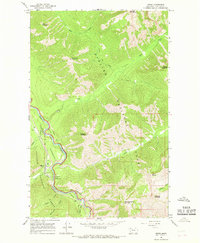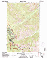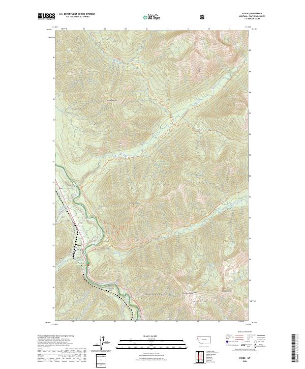
2024 Map of Essex
USGS Topo · Published 2024About this map
The mountain settlement of Essex serves as a focal point in this landscape where the Flathead National Forest, Glacier National Park, and the Great Bear Wilderness converge. The topography is dominated by the steep drainages of the Flathead Wild and Scenic River and its major tributaries like Park Creek and Ole Creek. This area is defined by its transit corridors, specifically the John F Stevens Canyon and the Theodore Roosevelt Pass, which have historically facilitated movement through this high-altitude terrain.
Find a feature on this map
58 named features on this map. Tap any name to fly to it.
Don’t see what you’re looking for? This feature index may not catch every label — zoom into the map to look around manually.
Map Details
Editions of this 2024 Essex Map
This is the sole edition of this map. No revisions or reprints were ever made.