Loading...
Loading map...2023 Map of Essexville
USGS Topo · Published 2023About this map
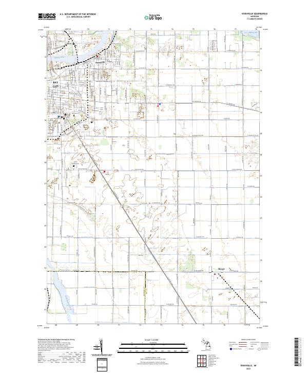
Essexville sits at the northern edge of this landscape where the Saginaw River meets Saginaw Bay. The settlement pattern reflects a dense urban grid in the northwest, transitioning into the sprawling agricultural tracts of t14n r6e and t13n r6e. This area is characterized by an extensive network of drainage infrastructure, including the Trombley Drain, Douglas Drain, and Lambert Drain, which were essential for managing the low-lying terrain near the bay.
Find a feature on this map
72 named features on this map. Tap any name to fly to it.
Don’t see what you’re looking for? This feature index may not catch every label — zoom into the map to look around manually.
Map Details
Date Portrayed2023
Date Published2023
PublisherU.S. Geological Survey
Map TypeTopographic
Scale1:24000
Physical Dimensions24 x 29 inches
Editions of this 2023 Essexville Map
This is the sole edition of this map. No revisions or reprints were ever made.
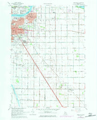
Historical Maps of Portsmouth Township Through Time
Featured Locations
- Hampton Township, MI
- Bay City, MI
- Essexville, MI
- Buena Vista Charter Township, MI
- Munger, Merritt Township
Source Details
SourceU.S. Geological Survey
CopyrightPublic Domain