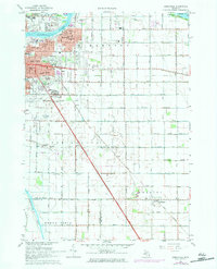
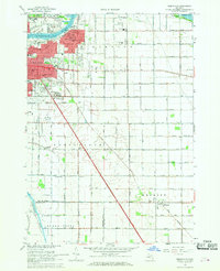
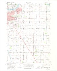
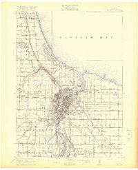
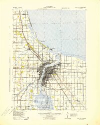
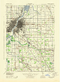
1967 Map of Essexville
USGS Topo · Published 1984About this map
The industrial and maritime landscape of the Saginaw River dominates this late-1960s study, where the city of Bay City meets the southern edge of Saginaw Bay. The urban core is detailed with local institutions like Central High School and Thomas Jefferson School, while the eastern expansion into Essexville shows a transition from municipal infrastructure, such as the sewage disposal plants and Dow Field, to the organized fairways of the Bay County Country Club.
Find a feature on this map
58 named features on this map. Tap any name to fly to it.
Don’t see what you’re looking for? This feature index may not catch every label — zoom into the map to look around manually.
Map Details
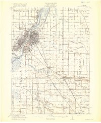
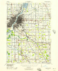
Editions of this 1967 Essexville Map
3 editions found
Other maps of this area
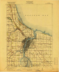
1916 · Bay City
USGS Topo · 1:62,500
1919 · Bay City
USGS Topo · 1:62,500
1919 · Saginaw
USGS Topo · 1:62,500
1941 · Saginaw
USGS Topo · 1:62,500
1943 · Bay City
USGS Topo · 1:62,500
1943 · Saginaw
USGS Topo · 1:62,500

1954 · Flint
USGS Topo · 1:250,000

1958 · Flint
USGS Topo · 1:250,000
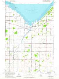
1963 · Quanicassee
USGS Topo · 1:24,000
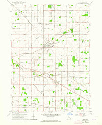
1963 · Reese
USGS Topo · 1:24,000
Featured Places
- Bay City, MI
- Essexville, MI
- Buena Vista Charter Township, MI
- Munger, Merritt Township
- Hampton Township, MI