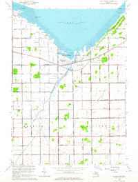
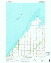
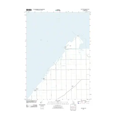
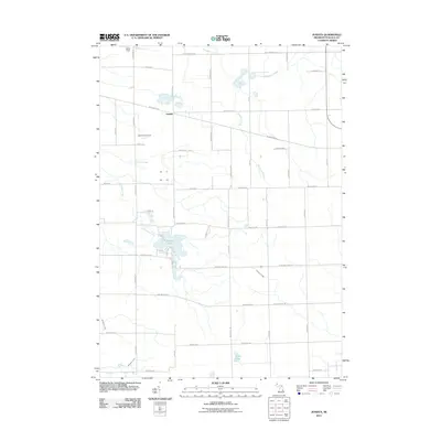
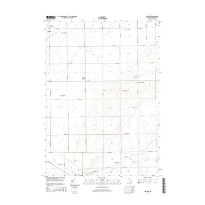
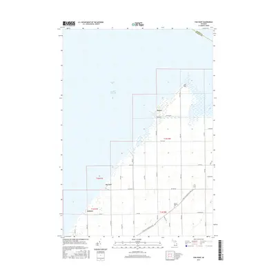
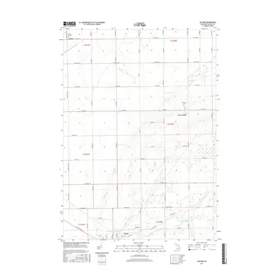
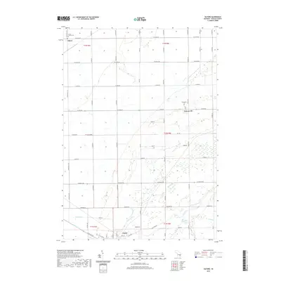
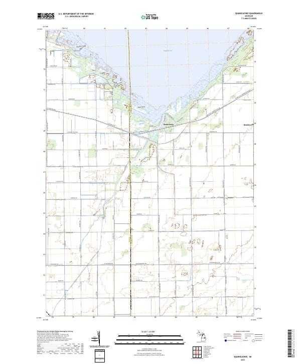
1963 Map of Quanicassee
USGS Topo · Published 1964About this map
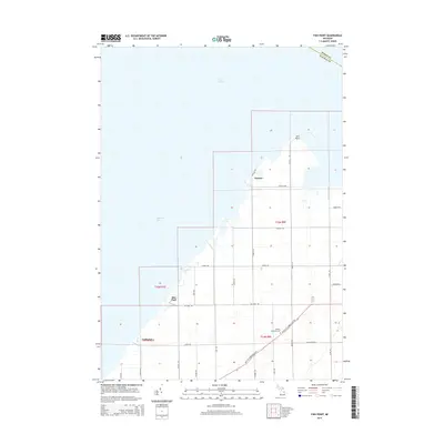
The southern shoreline of Saginaw Bay defines this landscape where the Quanicassee River empties into the marshy coastal flats. In the early 1960s, the small settlement of Quanicassee served as a focal point for the surrounding agricultural townships of Hampton, Wisner, Merritt, and Gilford. The map reveals a highly engineered drainage system essential for farming the low-lying terrain, featuring names like Nearing Drain, Russell Drain, and Hawkins Drain.
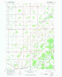
Find a feature on this map
38 named features on this map. Tap any name to fly to it.
Don’t see what you’re looking for? This feature index may not catch every label — zoom into the map to look around manually.
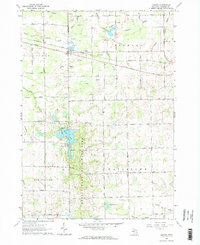
Map Details
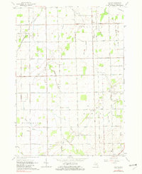
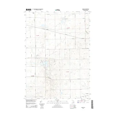
Editions of this 1963 Quanicassee Map
2 editions found
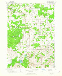
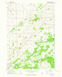
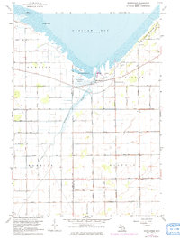
Historical Maps of Quanicassee Through Time
47 maps found
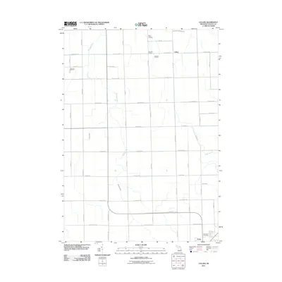
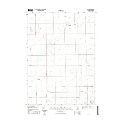
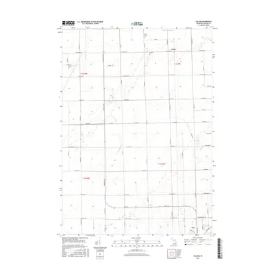
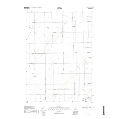
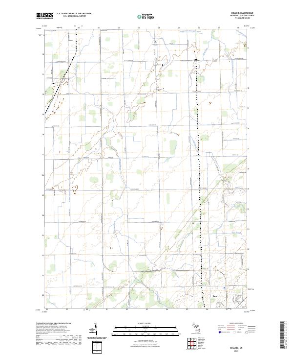
1963 Colling
Tuscola County, MI
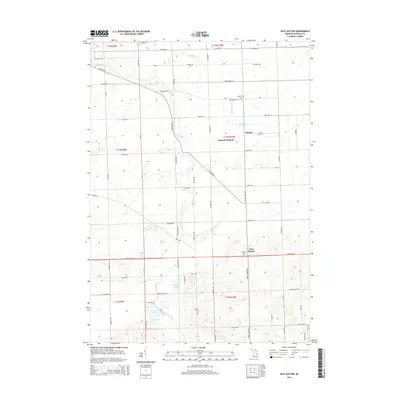
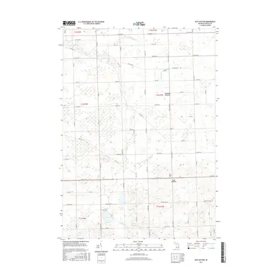
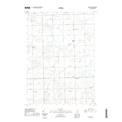
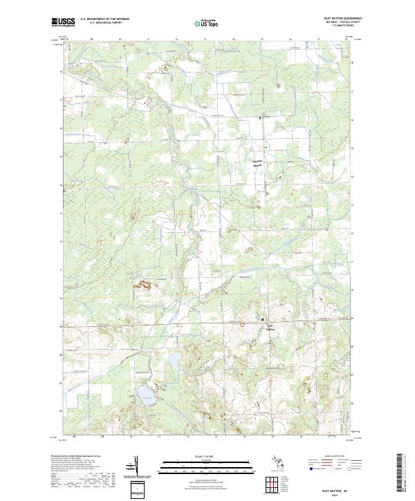
1963 East Dayton
Tuscola County, MI
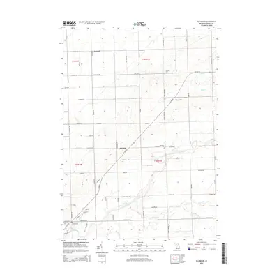
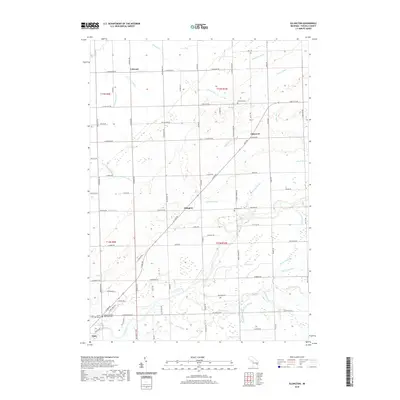
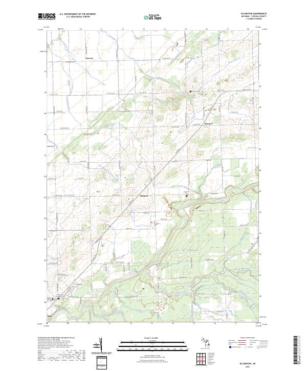
1963 Ellington
Tuscola County, MI
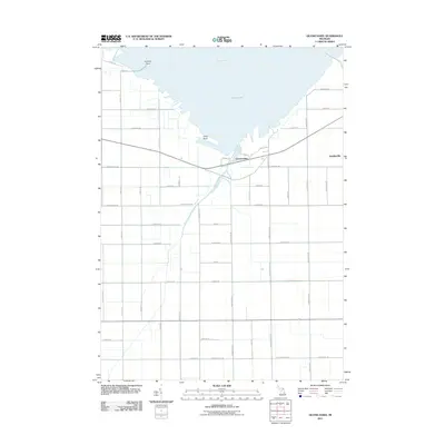
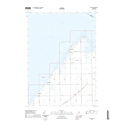
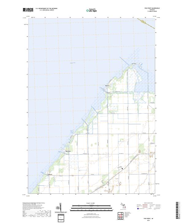
1963 Fish Point
Tuscola County, MI
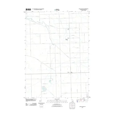
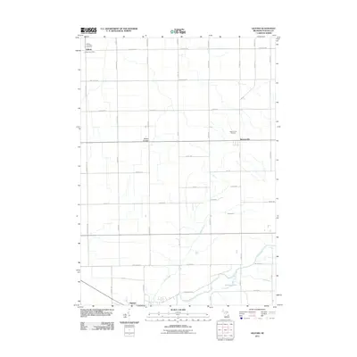
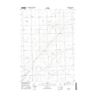
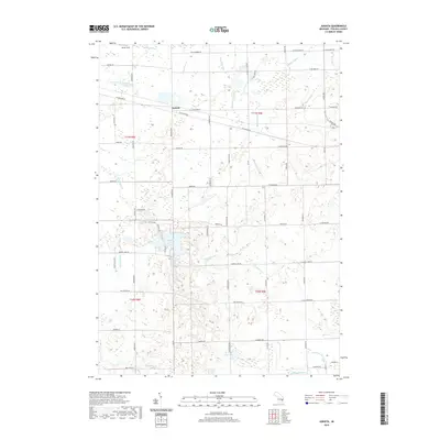
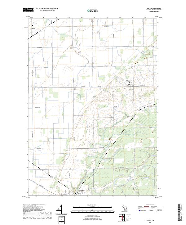
1963 Gilford
Tuscola County, MI
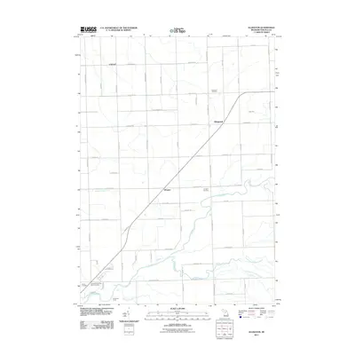
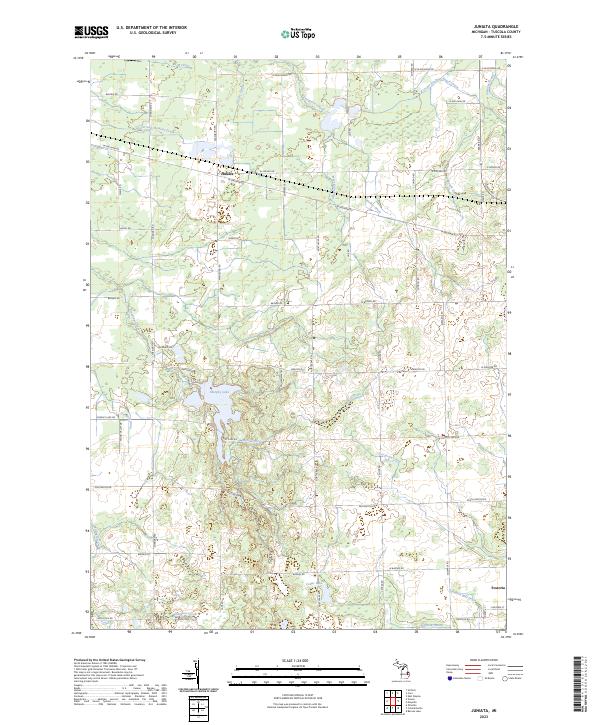
1963 Juniata
Tuscola County, MI
1963 Quanicassee
Tuscola County, MI
2011 Colling
Tuscola County, MI
2011 East Dayton
Tuscola County, MI
2011 Ellington
Tuscola County, MI
2011 Fish Point
Tuscola County, MI
2011 Gilford
Tuscola County, MI
2011 Juniata
Tuscola County, MI
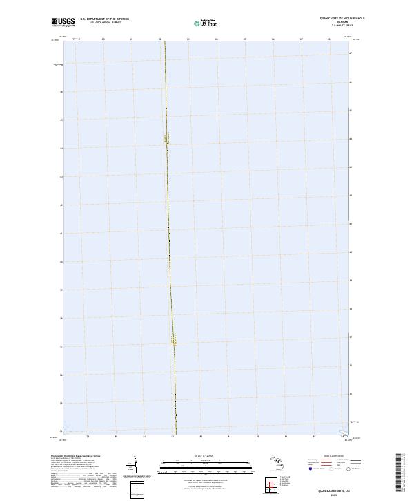
2011 Quanicassee OE N
Tuscola County, MI
2011 Quanicassee
Tuscola County, MI
2014 Colling
Tuscola County, MI
2014 East Dayton
Tuscola County, MI
2014 Ellington
Tuscola County, MI
2014 Fish Point
Tuscola County, MI
2014 Gilford
Tuscola County, MI
2014 Juniata
Tuscola County, MI
2014 Quanicassee OE N
Tuscola County, MI
2014 Quanicassee
Tuscola County, MI
2017 Colling
Tuscola County, MI
2017 East Dayton
Tuscola County, MI
2017 Ellington
Tuscola County, MI
2017 Fish Point
Tuscola County, MI
2017 Gilford
Tuscola County, MI
2017 Juniata
Tuscola County, MI
2017 Quanicassee OE N
Tuscola County, MI
2017 Quanicassee
Tuscola County, MI
2019 Colling
Tuscola County, MI
2019 East Dayton
Tuscola County, MI
2019 Ellington
Tuscola County, MI
2019 Fish Point
Tuscola County, MI
2019 Gilford
Tuscola County, MI
2019 Juniata
Tuscola County, MI
2019 Quanicassee OE N
Tuscola County, MI
2019 Quanicassee
Tuscola County, MI
2023 Colling
Tuscola County, MI
2023 East Dayton
Tuscola County, MI
2023 Ellington
Tuscola County, MI
2023 Fish Point
Tuscola County, MI
2023 Gilford
Tuscola County, MI
2023 Juniata
Tuscola County, MI
2023 Quanicassee OE N
Tuscola County, MI
2023 Quanicassee
Tuscola County, MI
Featured Locations
- Hampton Township, MI
- Merritt Township, MI
- Wisner Township, MI
- Gilford Township, MI
- Quanicassee, Wisner Township