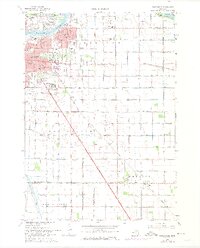
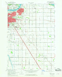
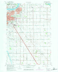
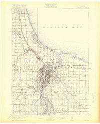
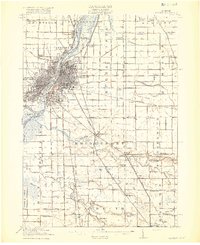
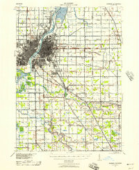
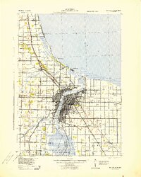
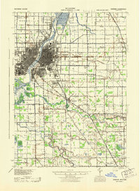
1967 Map of Essexville
USGS Topo · Published 1974About this map
The Saginaw River flows through the heart of Essexville as it approaches Saginaw Bay, anchoring an industrial and residential landscape defined by both water and rail. The urban fabric of Bay City transitions into the townships of Hampton and Portsmouth, where extensive drainage systems like Walther Drain and Halstead Drain suggest a conversion of wetlands into productive land. The presence of the Penn Central Railroad and Chesapeake and Ohio Railroad underscores the area's role as a transportation hub during the late 1960s.
Find a feature on this map
65 named features on this map. Tap any name to fly to it.
Don’t see what you’re looking for? This feature index may not catch every label — zoom into the map to look around manually.
Map Details
Editions of this 1967 Essexville Map
3 editions found
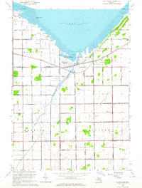
Other maps of this area
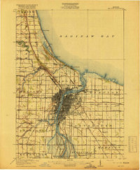
1916 · Bay City
USGS Topo · 1:62,500
1919 · Bay City
USGS Topo · 1:62,500
1919 · Saginaw
USGS Topo · 1:62,500
1941 · Saginaw
USGS Topo · 1:62,500
1943 · Bay City
USGS Topo · 1:62,500
1943 · Saginaw
USGS Topo · 1:62,500

1954 · Flint
USGS Topo · 1:250,000

1958 · Flint
USGS Topo · 1:250,000
1963 · Quanicassee
USGS Topo · 1:24,000
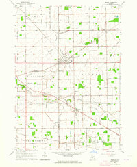
1963 · Reese
USGS Topo · 1:24,000
Featured Places
- Bay City, MI
- Essexville, MI
- Buena Vista Charter Township, MI
- Munger, Merritt Township
- Hampton Township, MI