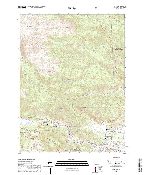
2022 Map of Estes Park
USGS Topo · Published 2022About this map
Estes Park sits at the eastern gateway of Rocky Mountain National Park, where the high peaks of the Mummy Range descend into mountain meadows like Horseshoe Park and Hondius Park. This 2022 survey captures the modern landscape of the town and its surroundings, dominated by the waters of the Big Thompson River and Lake Estes. The map documents a dense network of high-altitude trails, including the Bridal Veil Falls Trl and the Lumpy Ridge Trl, reflecting the area's long-standing identity as a center for mountaineering and outdoor recreation. Notable local landmarks such as the Saint Bartholomew Episcopal Church Cem and the MacGregor Ranch Cem provide touchpoints for local genealogy. The transition from the Roosevelt National Forest to the national park is clearly delineated, showing how the protected wilderness area interfaces with the residential growth of the village near Livingston Lake.
Find a feature on this map
103 named features on this map. Tap any name to fly to it.
Don’t see what you’re looking for? This feature index may not catch every label — zoom into the map to look around manually.
Map Details
Editions of this 2022 Estes Park Map
This is the sole edition of this map. No revisions or reprints were ever made.
Other maps of this area

1905 · Mount Olympus
USGS Topo · 1:62,500

1907 · Mount Olympus
USGS Topo · 1:62,500

1907 · Livermore
USGS Topo · 1:125,000

1909 · Livermore
USGS Topo · 1:125,000

1915 · Longs Peak
USGS Topo · 1:125,000

1916 · Home
USGS Topo · 1:125,000

1919 · Rocky Mountain National Park
USGS Topo · 1:125,000

1920 · Home
USGS Topo · 1:125,000

1954 · Greeley
USGS Topo · 1:250,000

1957 · Greeley
USGS Topo · 1:250,000
Featured Places
- Estes Park, CO
- Fall River Estates Subdivision, CO
- Stanley Heights Subdivision, Estes Park
- Larimer County, CO
- United States