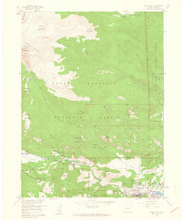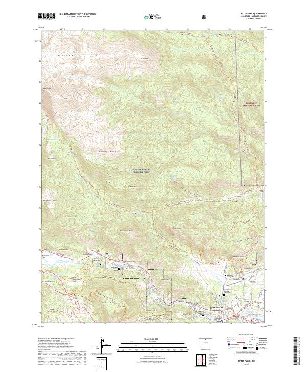
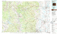
1984 Map of Estes Park
USGS Topo · Published 1984About this map
Rocky Mountain terrain dominates this 1984 survey, where the Continental Divide carves a jagged path between the Front Range and the Medicine Bow Mountains. The map illustrates a landscape defined by high-altitude water management and recreation, from the massive reach of Lake Granby and Shadow Mountain Lake in the south to the network of reservoirs like Long Draw Reservoir and Barnes Meadow Reservoir in the north. Settlement is concentrated along the eastern plains and foothills, where the Burlington Northern and Union Pacific railroads connect agricultural and industrial hubs like Loveland, Berthoud, and Longmont. To the west, the transition into the Rocky Mountain National Park and Indian Peaks Wilderness reveals a different development pattern, centered on seasonal tourism and historic mining camps such as Nederland, Gold Hill, and Ward. The convergence of the Thompson River and St Vrain Creek systems highlights the vital corridors that linked these mountain outposts to the growing front-range cities of Boulder and Lafayette.
Find a feature on this map
208 named features on this map. Tap any name to fly to it.
Don’t see what you’re looking for? This feature index may not catch every label — zoom into the map to look around manually.
Map Details
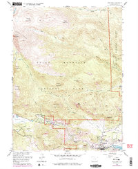
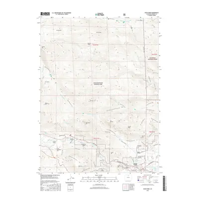
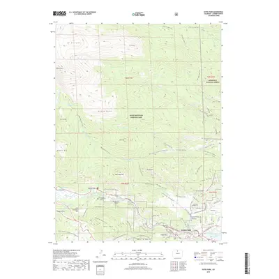
Editions of this 1984 Estes Park Map
3 editions found
Historical Maps of Fort Collins Through Time
8 maps found