
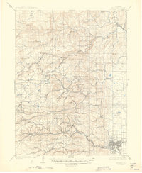
1902 Map of Boulder
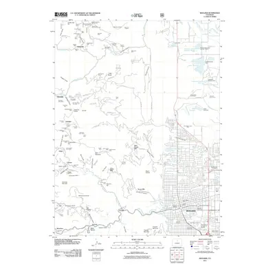
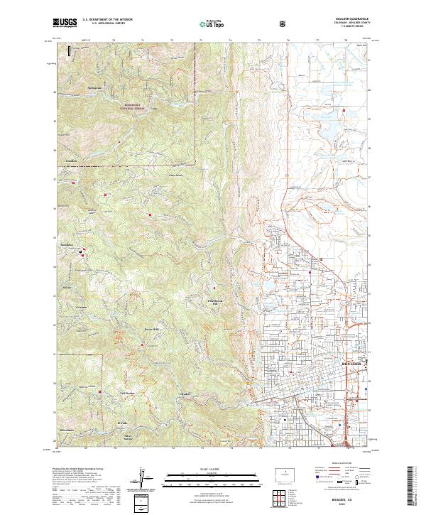
USGS Topo · Published 1957About this map
Mining settlements and complex mountain rail systems define this landscape at the turn of the century. The Colorado and Northwestern RR snakes through the canyons, serving high-altitude camps like Gold Hill and the industrial hub at Wallstreet. This 1902 survey, conducted by Frank Tweedy, captures the height of the regional extraction era, showing the infrastructure of the Golden Rule Mining Co Ditch and numerous named elevations like Emancipation Hill and Nugget Hill. In the valleys, established towns like Lyons and Boulder anchor the eastern edge of the Front Range, while the steep drainages of North St. Vrain Creek and Fourmile Creek provide the narrow corridors for both water and transport. The map records several small communities such as Sunshine, Jamestown, and Springdale before later automotive travel and landscape changes altered their original layouts.
Find a feature on this map
88 named features on this map. Tap any name to fly to it.
Don’t see what you’re looking for? This feature index may not catch every label — zoom into the map to look around manually.
Map Details
Editions of this 1902 Boulder Map
This is the sole edition of this map. No revisions or reprints were ever made.
Historical Maps of Boulder Through Time
10 maps found
1902 Boulder
Boulder County, CO
1904 Boulder
Boulder County, CO
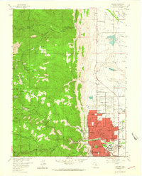
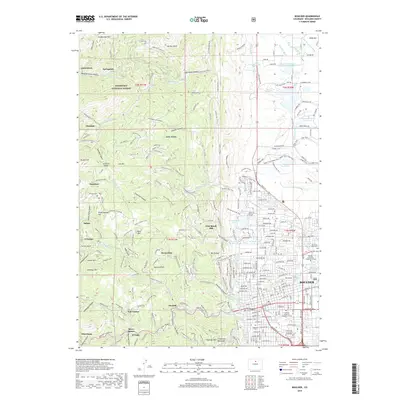
1957 Boulder
Boulder County, CO
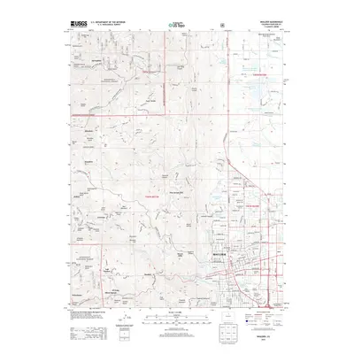
1957 Boulder
Boulder County, CO
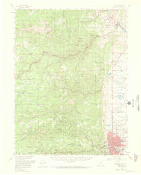
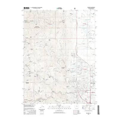
1966 Boulder
Boulder County, CO
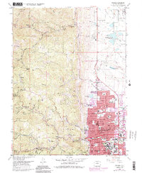
2011 Boulder
Boulder County, CO
2013 Boulder
Boulder County, CO
2016 Boulder
Boulder County, CO
2019 Boulder
Boulder County, CO
2022 Boulder
Boulder County, CO