
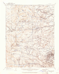
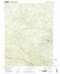
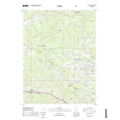
1905 Map of Central City
USGS Topo · Published 1905About this map
Central City and the surrounding mining districts of Gilpin County define this high-altitude landscape during the early 20th century. High-density settlement is evident at Nevadaville and Russell Gulch, while the presence of the Bald Mountain P.O. and Boulder County Mine underscores the intense extraction activity that shaped these mountains. The Continental Divide bisects the western reaches, with the Denver Northwestern and Pacific RR engineering its way through Rollins Pass and passing notable landmarks like Yankee Doodle Lake and the Riflesight Notch. Along the eastern slopes, small camps and towns such as Rollinsville, Eldora, and Nederland serve as gateways to the high country. In the north, the historic silver-mining area near Caribou Hill and Caribou Park illustrates the northern extent of the mineral belt. To the south, the Colorado Southern RR corridor follows the valley through Dumont, Lawson, and Empire, connecting these camps to the broader regional economy.
Find a feature on this map
170 named features on this map. Tap any name to fly to it.
Don’t see what you’re looking for? This feature index may not catch every label — zoom into the map to look around manually.
Map Details
Editions of this 1905 Central City Map
This is the sole edition of this map. No revisions or reprints were ever made.
Historical Maps of Idaho Springs Through Time
11 maps found
1905 Central City
Gilpin County, CO
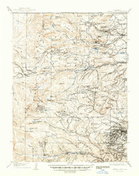
1910 Central City
Gilpin County, CO
1912 Central City
Gilpin County, CO
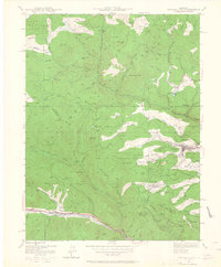
1942 Central City
Gilpin County, CO
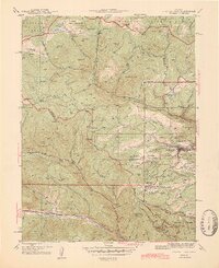
1944 Central City
Gilpin County, CO
1972 Central City
Gilpin County, CO
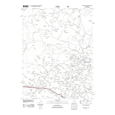
2011 Central City
Gilpin County, CO
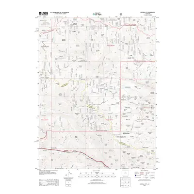
2013 Central City
Gilpin County, CO
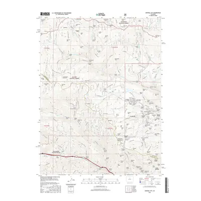
2016 Central City
Gilpin County, CO
2019 Central City
Gilpin County, CO
2022 Central City
Gilpin County, CO