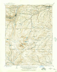
1903 Map of Georgetown
USGS Topo · Published 1957About this map
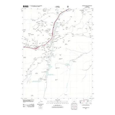
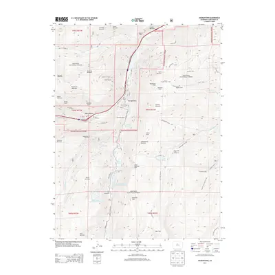
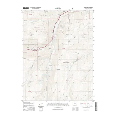
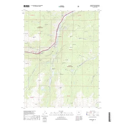
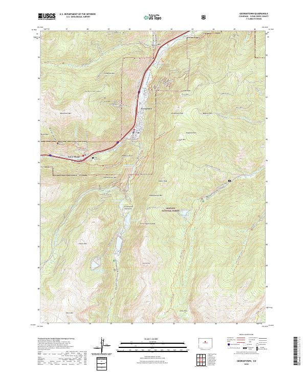
Georgetown and Silver Plume anchor this high-altitude landscape during the height of the region's mining and engineering prowess. The map prominently features the Georgetown Loop, the famed railroad engineering feat that connected these two mining towns. In the high country to the south, the massive peaks of Mt Evans and Mt Bierstadt tower over alpine basins and glacial features such as the Chicago Lakes and Summit Lake.
Find a feature on this map
101 named features on this map. Tap any name to fly to it.
Don’t see what you’re looking for? This feature index may not catch every label — zoom into the map to look around manually.
Map Details
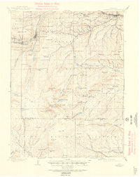
Editions of this 1903 Georgetown Map
This is the sole edition of this map. No revisions or reprints were ever made.
Historical Maps of Idaho Springs Through Time
9 maps found
1903 Georgetown
Clear Creek County, CO
1905 Georgetown
Clear Creek County, CO
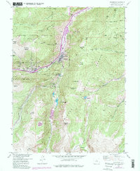
1957 Georgetown
Clear Creek County, CO
1957 Georgetown
Clear Creek County, CO
2011 Georgetown
Clear Creek County, CO
2013 Georgetown
Clear Creek County, CO
2016 Georgetown
Clear Creek County, CO
2019 Georgetown
Clear Creek County, CO
2022 Georgetown
Clear Creek County, CO