
1906 Map of Blackhawk
USGS Topo · Published 1906About this map
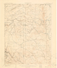
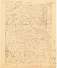
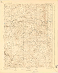
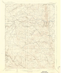
Blackhawk serves as a major focal point in the southwest corner of this 1904 survey, situated where North Fork Clear Creek meets the rugged mining terrain of Justice Hill and Silver Hill. The landscape is defined by the early development of Colorado’s mountain corridors, showing the Denver Northwestern and Pacific RR and the Colorado and Southern RR threading through the canyons. Notable ranching and mountain settlements like Magnolia, Rollinsville, and Pactolus are documented alongside numerous family holdings such as Winiger Ranch and Benson Ranch. High-altitude education is marked at the Pine Glade School, while the eastern plains transition at Plainview. The map captures a critical era of resource extraction and transit before modern highway development, with legacy routes like Dory Hill Road and Drew Hill Road providing essential access between the mining districts and the growing Front Range.
Find a feature on this map
76 named features on this map. Tap any name to fly to it.
Don’t see what you’re looking for? This feature index may not catch every label — zoom into the map to look around manually.
Map Details
Editions of this 1906 Blackhawk Map
5 editions found
Other maps of this area

1899 · West Denver
USGS Topo · 1:125,000

1902 · Boulder
USGS Topo · 1:62,500

1903 · Georgetown
USGS Topo · 1:62,500

1904 · Niwot
USGS Topo · 1:62,500

1904 · Boulder
USGS Topo · 1:62,500

1905 · Central City
USGS Topo · 1:62,500

1905 · Georgetown
USGS Topo · 1:62,500

1910 · Central City
USGS Topo · 1:62,500

1912 · Central City
USGS Topo · 1:62,500

1915 · Longs Peak
USGS Topo · 1:125,000