
1904 Map of Niwot
USGS Topo · Published 1904About this map
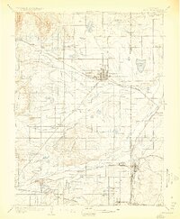
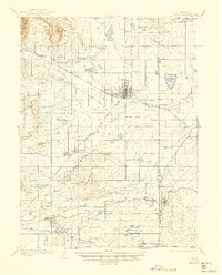
Agricultural development and early mining activity define the landscape of eastern Boulder County during the earliest years of the twentieth century. The town of Longmont serves as a primary hub, situated near the confluence of St. Vrain Creek and its various irrigation channels, such as the Highland Ditch. To the south, the coal mining heritage of the region is evident near Erie, where the Gladstone Mine and Hayward Mine are located.
Find a feature on this map
55 named features on this map. Tap any name to fly to it.
Don’t see what you’re looking for? This feature index may not catch every label — zoom into the map to look around manually.
Map Details
Editions of this 1904 Niwot Map
3 editions found
Other maps of this area

1890 · East Denver
USGS Topo · 1:125,000

1899 · West Denver
USGS Topo · 1:125,000

1902 · Greeley
USGS Topo · 1:125,000

1902 · Boulder
USGS Topo · 1:62,500

1904 · Boulder
USGS Topo · 1:62,500

1905 · Mount Olympus
USGS Topo · 1:62,500

1906 · Blackhawk
USGS Topo · 1:62,500

1906 · Loveland
USGS Topo · 1:62,500

1907 · Mount Olympus
USGS Topo · 1:62,500

1908 · Loveland
USGS Topo · 1:62,500