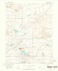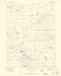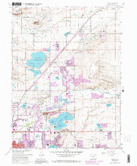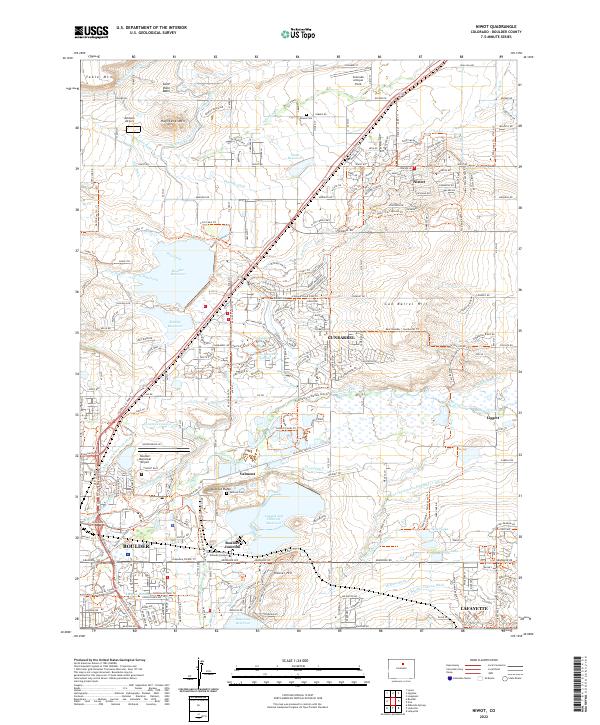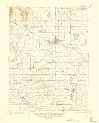
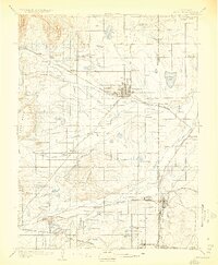
1904 Map of Niwot
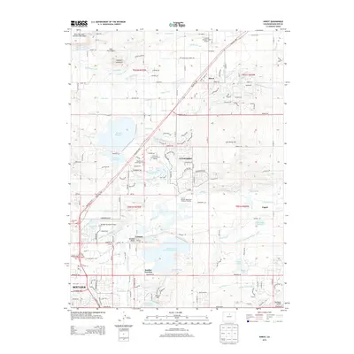
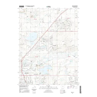
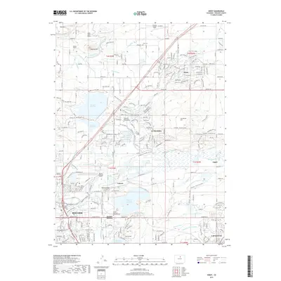
USGS Topo · Published 1945About this map
Longmont and Niwot anchor this detailed survey of the agricultural and industrial landscape north of Boulder at the turn of the twentieth century. The map reveals an intricate network of irrigation canals essential to the high plains economy, including the Oligarchy Ditch, Supply Ditch, and Basin Ditch, which fed numerous reservoirs like Mc Intosh Lake and Calkins Lake. The terrain is defined by prominent elevations such as Gunbarrel Hill and Table Mountain, while the hydrology is dominated by the winding course of St. Vrain Creek and Boulder Creek.
Find a feature on this map
68 named features on this map. Tap any name to fly to it.
Don’t see what you’re looking for? This feature index may not catch every label — zoom into the map to look around manually.
Map Details
Editions of this 1904 Niwot Map
3 editions found

Historical Maps of Boulder Through Time
9 maps found