1924 Map of Fraser
USGS Topo · Published 1957About this map
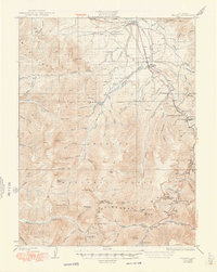
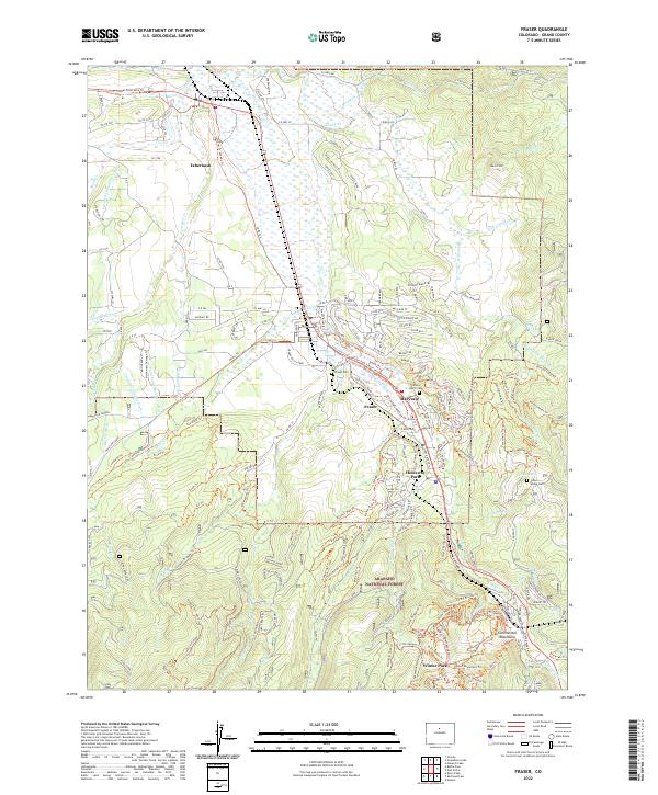
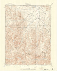
Moffat Tunnel anchors the eastern edge of this high-altitude survey, representing a pivotal moment in Colorado's rail history. The Denver and Salt Lake RR winds through the valley, connecting mountain settlements like Tabernash, Fraser, and the rail-dependent West Portal. This era was defined by a landscape transitioning from resource extraction to managed wilderness, evidenced by the presence of both the Urad Mine and the Byers Ranger Sta. The Continental Divide forms a natural barrier across the southern reaches of the map, crossed only at Berthoud Pass and Vasquez Pass. Small mountain schools like the Pole Creek School serve the scattered valley populations, while the complex hydrology of the Fraser River and its many tributaries, such as St Louis Creek, illustrates the region's importance to western water management.
Find a feature on this map
81 named features on this map. Tap any name to fly to it.
Don’t see what you’re looking for? This feature index may not catch every label — zoom into the map to look around manually.
Map Details
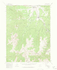
Editions of this 1924 Fraser Map
2 editions found
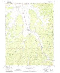
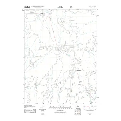
Historical Maps of Fraser Through Time
9 maps found