Loading...
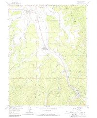
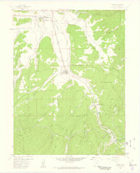
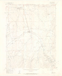
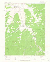
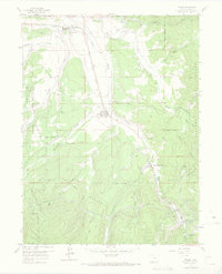
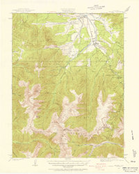
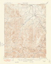
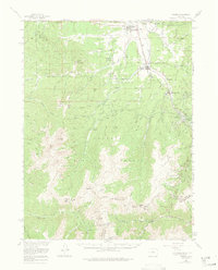
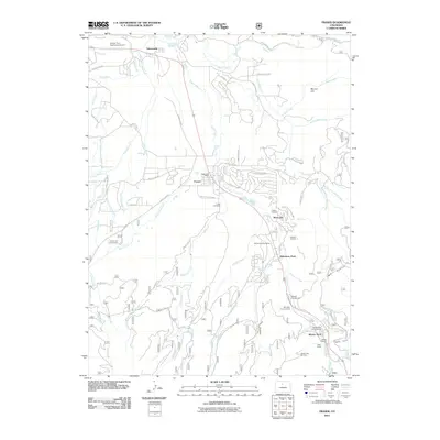
Loading map...1957 Map of Fraser
USGS Topo · Published 1988About this map
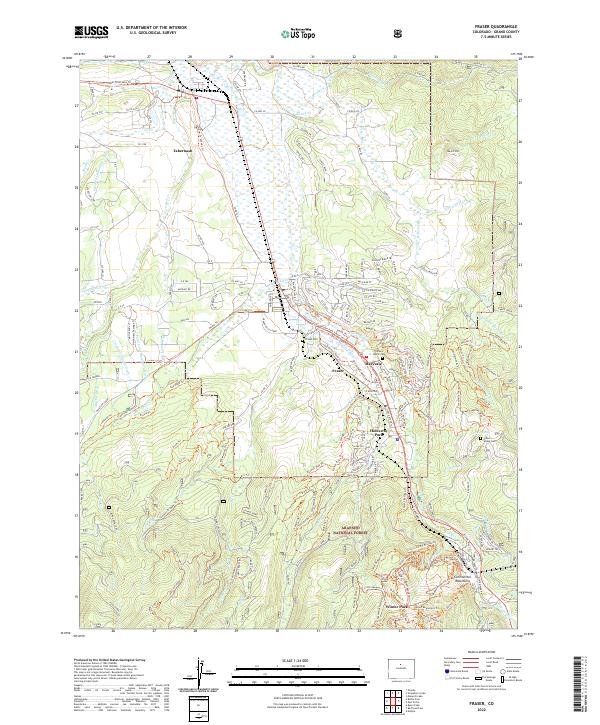
The Fraser River valley serves as a critical mountain corridor in this 1950s survey, defined by the heavy infrastructure of the Denver and Rio Grande Western railroad. Along its tracks, the settlements of Fraser, Tabernash, and Winter Park are documented as the regional economy transitioned from traditional mountain ranching and timber toward a growing winter recreation identity. The map captures the significant engineering feats required to navigate this terrain, including the Moffat Tunnel at West Portal and the Arrow Tunnel.
Find a feature on this map
45 named features on this map. Tap any name to fly to it.
Don’t see what you’re looking for? This feature index may not catch every label — zoom into the map to look around manually.
Map Details
Date Portrayed1957
Date Published1988
PublisherU.S. Geological Survey
Map TypeTopographic
Scale1:24,000
Physical Dimensions22 x 26.8 inches
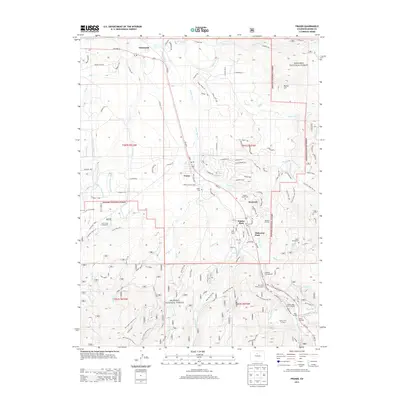
Editions of this 1957 Fraser Map
5 editions found
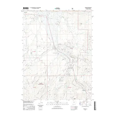
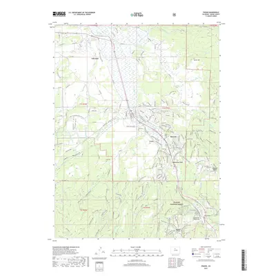
Historical Maps of Fraser Through Time
9 maps found
Featured Locations
Source Details
SourceU.S. Geological Survey
CopyrightPublic Domain