Loading...
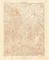
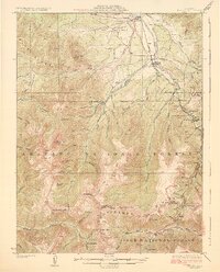
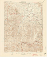
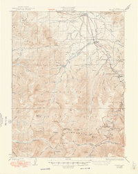
Loading map...1926 Map of Fraser
USGS Topo · Published 1926About this map
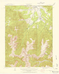
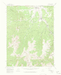
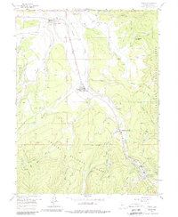
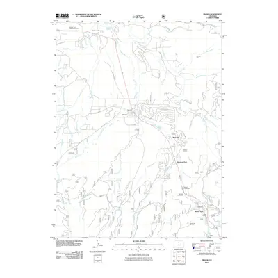
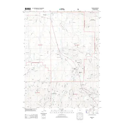
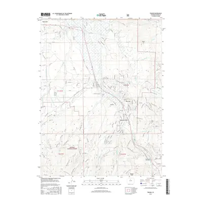
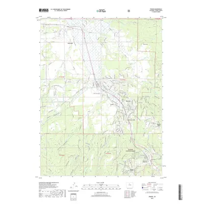
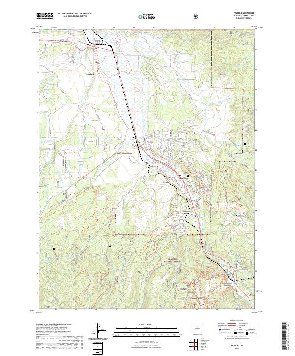
The Moffat Tunnel serves as a critical engineering focal point on this 1920s survey, marking a transformative era for transportation through the high Rockies. At the eastern edge of the Arapaho National Forest, the Denver and Salt Lake Railroad winds through the valley, connecting the settlements of Tabernash, Fraser, and West Portal. The landscape is a complex network of high peaks and vital transit corridors, with Berthoud Pass and Vasquez Pass providing passage over the Continental Divide.
Find a feature on this map
76 named features on this map. Tap any name to fly to it.
Don’t see what you’re looking for? This feature index may not catch every label — zoom into the map to look around manually.
Map Details
Date Portrayed1926
Date Published1926
PublisherU.S. Geological Survey
Map TypeTopographic
Scale1:62,500
Physical Dimensions16.3 x 19.9 inches
Editions of this 1926 Fraser Map
4 editions found
Historical Maps of Fraser Through Time
9 maps found
Featured Locations
Source Details
SourceU.S. Geological Survey
CopyrightPublic Domain